
Zar Lilley/Stuff
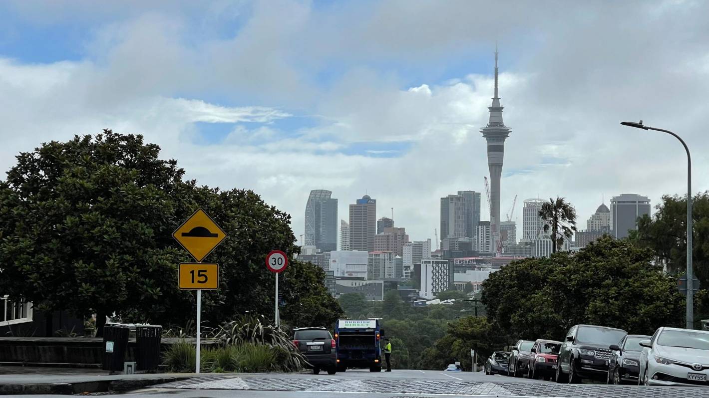
By 10.30am on Wednesday, the sun was trying to peak through in Auckland.
“The worst is over” for Auckland and Northland after a night of torrential rain, according to MetService.
But the rest of the country is being told to brace for rain and wind as the storm travels south.
Bay of Plenty and Coromandel are now “in the firing line”, with red warnings in place in both regions for much of Wednesday, MetService meteorologist Karl Loots said.
At 10am on Wednesday, the state of emergency in Northland was lifted. Auckland, however, remained in a state of emergency.
READ MORE:
* State of emergency declared in Northland ‘as a precautionary step’
* No let up – more pain for Coromandel as red weather warning looms
* Red alert: highest weather warning for Bay of Plenty
* Auckland braces for another massive downpour on Tuesday
“Certainly for Auckland and Northland, the worst is over for now,” Loots said.
”We are expecting the odd shower on Thursday and Sunday night, but it’s going to be nothing like what we’ve seen. It will be pretty benign in comparison.”
Although red heavy rain warnings had now lapsed for Auckland and Northland, red warnings would remain in place in the Coromandel until 4pm on Wednesday and 9pm in Bay of Plenty.
Loots said the Coromandel had already received between 50 to 60mm overnight, with peak rainfall rates reaching 16mm per hour.
Stuff
In 2019 MetService introduced a new colour-coded severe weather warning system.
Many parts of the Bay of Plenty had started receiving rain on Wednesday morning and this would continue until the evening, he said.
“Pretty much the entire North Island will be affected by this, currently it’s raining anywhere north of the Manawatū and Hawke’s Bay northwards … that’s slowly spreading south during the day and will eventually reach Wellington as well,” Loots said.
However, any severe weather was expected to be contained to the Coromandel and Bay of Plenty regions on Wednesday, he said.
Torrential showers soaked Auckland early on Wednesday, with downpours of 30 to 40mm per hour hitting the city in the morning.
Abigail Dougherty/Stuff
Landslides and debris from the storm which blocked roads in Titirangi and damaged homes. (File photo)
Meanwhile, parts of Northland received 60mm of rain with rainfall rates hitting 25 to 30mm per hour overnight.
Auckland was expected to see between 50 to 70mm on Wednesday, though some parts may receive up to 120mm, and Coromandel and Bay of Plenty between 100 to 150mm.
On Wednesday, the lower North Island would see “relatively benign” periods of rain slowly spreading southward, while the South Island could expect scattered rainfall but no severe weather.
MetService meteorologist Stephen Glassey warned to watch out for dangerous river conditions and additional slips and flooding which were likely from overnight and could cause further disruptions.
Large waves were also expected to continue impacting eastern coastlines.
Iloa Koko/Supplied.
Due to current high levels of soil saturation, wind around Auckland and Northland is likely to bring down further trees. (File photo)
Strong winds expected to have battered the region in the early hours of this morning were also expected to increase the risk of trees being brought down. A strong wind watch remains in place for Auckland until 10am.
“Because the ground is so saturated it doesn’t take as much wind to bring down trees as it normally would,” he said.
“The main band of moisture is moving southwards, so it does look like the second half of tomorrow should ease from Auckland and Coromandel by the end of the day.”
Glassey warned the impacts could still be “quite significant”.
Heavy rainfall was expected to continue in Coromandel until later in the afternoon and well into the night for parts of Bay of Plenty where red heavy rain warnings remained in place.
Dalton Ward/Supplied
Aerial video of the slip on State Highway 25A between Kopu and Hikuai on the Coromandel Peninsula.
An orange heavy rain warning remained in place for Bay of Plenty about and east of Kawerau, and parts of Gisborne north of Ruatoria through until 10am on Thursday, with between 100 to 120mm of rain expected.
Heavy rain watches remained in place for Waikato, Mount Taranaki, northwest Tasman and Westland.
Glassey expected there would be rain “on and off” across much of the country right through until the weekend.
Bursts of heavy rain and thunderstorms were likely for a number of North Island regions through into Thursday, with rain spreading to northern and western parts of the South Island on Wednesday and continuing into Friday.


