
Traffic is steady along the Oakleigh/Paparoa Rd – a detour road to and from Whangārei.
Photo / Michael Cunningham
Detours may make travel between Whangārei and Auckland or to Mangawhai tempting but the best cellphones or GPS mapping won’t work because there is no Wi-Fi or phone coverage on detour routes.
It is a fact most travellers, particularly those from outside Northland, will be oblivious to and may form part of the reason for authorities’ urging of people to stay off the roads unless absolutely necessary to travel.
Advocate photographer Michael Cunningham and I decided to take a road trip from Whangārei to Mangawhai yesterday to speak to residents and businesses doing it tough for weeks, given the state of the roading infrastructure following Cyclone Gabrielle.
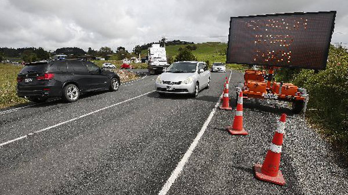
Like others, we drove via the Paparoa-Oakleigh Rd detour. Past a steady convoy of all manner of vehicles, including buses, campervans, trucks and motorcycles, on the winding stretch of road that takes about 45 minutes to cross.
Advertisement
There is not a lot holding the road together but despite being under enormous pressure and the sheer number of road signs, it is pretty reliable in the short term. One stretch towards the Paparoa end is down to one lane as part of the road is gouged out. It is a bumpy, slow ride for sure.
/cloudfront-ap-southeast-2.images.arcpublishing.com/nzme/EGFESVXUKJGM3HUKROX3J3XDEA.JPG)
Photo / Michael Cunningham
We turned left on to State Highway 12 and drove seamlessly through Maungatūroto all the way to the SH12/SH1 intersection then back on SH1 on the southern end of Brynderwyns.
Getting to Kaiwaka is not a hassle, nor is getting on to Kaiwaka-Mangawhai Rd before the first detour. We didn’t quite get to that point, instead turning on to Brown Rd for a photo of the Kaipara District Council’s farm effluent pond. It is not the normal detour route.
Getting past two moderately flooded sections of the road can be tricky. A 4WD is preferred for that road which links up with Tara Rd, where heavy machinery worked on digging up drains and clearing roadsides.
Advertisement
Mangawhai Village was eerily quiet and there weren’t many people around. It was lunch hour when the rain started to fall. It felt like anything could happen with rain and thunderstorms forecast for that day. Fearing we may get stranded on any of the detour routes, we left through Mangawhai-Kaiwaka Rd but hit another snag.
/cloudfront-ap-southeast-2.images.arcpublishing.com/nzme/ZHKMLCBXMRHJPOQHWFDG6F5N64.JPG)
Photo / Michael Cunningham
Because of a major underslip near the Hilltop Rd intersection, a detour is in place through Lawrence Rd which is a mix of tarseal and gravel. It was at this point we didn’t really know where that road would lead to. No signs to that effect.
We drove into Valley Rd but turned around and got back on to Lawrence Rd and hit another snag at the end of that road when it met up with Settlement Rd. Should we turn right or left?
In tiny letters under the Lawrence Rd sign it said “Kaiwaka” so we decided to turn left, but we didn’t know where on SH1 we’d come out. Once we hit SH1, things became a lot clearer. And we drove back the same way.
A sign just before Paparoa said trucks should continue to Dargaville but there was no enforcement and heavy goods vehicles continued to use the Paparoa Oakleigh Rd detour route to get to Whangārei.
State highways are cut up and uneven in places, while gouging and flash flooding on side roads, especially between Kaiwaka and Mangawhai, shows people should travel only when necessary.
Civil Defence Northland said the detour through Waipū and Mangawhai to bypass the SH1 blockage at the Brynderwyns could have both lanes reopened on Friday, but heavy trucks will still have to use the SH12/SH14 detour.
Cove Rd from Mangawhai to Waipū is not currently available as a detour route due to the Langs Beach bridge being closed. The road remains open at either end but it cannot be used as a through road, according to the latest update from Northland Civil Defence Emergency Management (CDEM) group controller Graeme MacDonald.
Opening of the Langs Beach bridge has now been delayed after contractors found the soil was more saturated than expected and they had to excavate and backfill more than initially thought.
Northland Transportation Alliance maintenance and operations manager Bernard Petersen said they now intended to have the bridge open by Wednesday morning.
Advertisement
“We realise people have been looking forward to it happening sooner and we’re sorry for the additional day of this impact on their lives.”


