
MetService meteorologist Dan Corrigan says rain could exceed 25 millimetres an hour, causing flash flooding, rising rivers and slips.
Photo: Unsplash / Daoudi Aissa
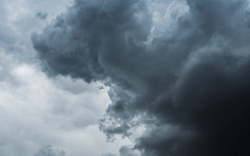
Thunderstorms are forecast for much of the upper North Island this afternoon.
MetService severe thunderstorm warnings for Auckland City, Waitakere, Franklin and Rodney have now been lifted, however one remains in place for Kaipara, Far North and Whangārei as the storm system moves northwest.
Severe Thunderstorm Warning issued for Northland Radar Area https://t.co/vceahzBEE3 pic.twitter.com/aBYPBp7qEX
— MetService Severe Weather Info (@MetServiceWARN) December 26, 2022
The expected torrential rain could cause flash flooding about streams, gullies and urban areas and could make driving conditions extremely hazardous, the warning said.
MetService said conditions remained favourable for thunderstorms elsewhere in the upper North Island and a severe thunderstorm watch would remain in force until 9pm for Northland, Auckland, Waikato, Waitomo, Taumarunui, Bay of Plenty, Rotorua and Taupō.
Severe Thunderstorm Warning issued for Auckland Radar Area https://t.co/9hi5w5AOGN pic.twitter.com/yCoy4NXd7y
— MetService Severe Weather Info (@MetServiceWARN) December 26, 2022
MetService meteorologist Dan Corrigan said rain could exceed 25 millimetres an hour, causing flash flooding, rising rivers and slips.
“That doesn’t mean there’s going to be thunderstorms everywhere all of that time, but if you’re in the thunderstorm watch area, there’s a risk that a thunderstorm could affect your location and it could bring a downpour of very, very heavy rain.”
Heavy showers already showing up over #auckland
It may not be four seasons in one day but there is certainly the chance for a beach day to turn into a stormy one. Be prepared to take cover if you’re out and about enjoying the parts of Auckland where the sun is still shining pic.twitter.com/muAfImnmHC
— MetService (@MetService) December 26, 2022
Temperatures in the south set to soar
High temperatures are predicted for many parts of the country this week, particularly the lower South Island.
The Hutt Valley is set to reach 28 degrees today, and Te Kuiti is going for a high of 29.
Corrigan said Wānaka was headed towards a 30-degree day on Wednesday.
“An average December day in Wānaka is 22 degrees and really the whole lower east corner of the South Island is looking at some well above average temperatures in the high 20s, low 30s.”
Temperatures in Dunedin, Central Otago and Southland would spike from Wednesday, and Christchurch looked likely to reach 30 degrees on Thursday, he said.