
Peter Grahame/Supplied
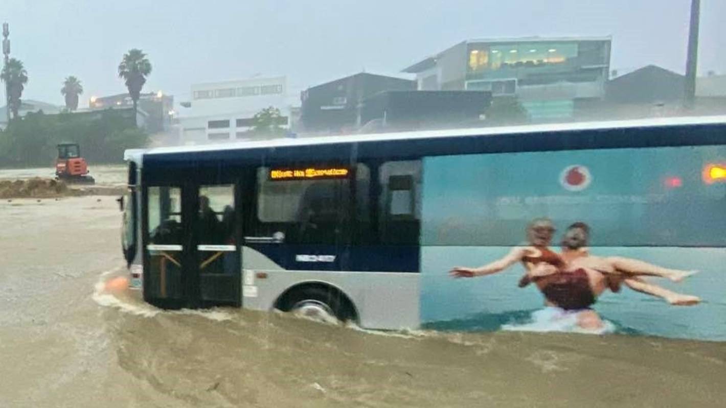
A bus travels through floodwaters in Auckland. (File photo)
Red heavy rain warnings and watches remain for much of the country, including already saturated and flood-stricken parts of Auckland, Coromandel and Bay of Plenty.
Red warnings are in place for Auckland north of Orewa until 8am on Wednesday, for Coromandel until 4pm and for Bay of Plenty west of Kawerau, which includes the Rotorua Lakes District, Western Bay of Plenty District and Tauranga City until 9pm.
Auckland was expected to see between 60 to 90mm, though some parts may receive up to 120mm, and Coromandel and Bay of Plenty between 100 to 150mm.
MetService meteorologist Stephen Glassey expected the rain to start “gradually easing” for Auckland from Wednesday morning, though there would still be a few showers.
READ MORE:
* State of emergency declared in Northland ‘as a precautionary step’
* No let up – more pain for Coromandel as red weather warning looms
* Red alert: highest weather warning for Bay of Plenty
* Auckland braces for another massive downpour on Tuesday
Abigail Dougherty/Stuff
Landslides and debris from the storm which blocked roads in Titirangi and damaged homes. (File photo)
Glassey warned to watch out for dangerous river conditions, and additional slips and flooding which were likely from overnight and could cause further disruptions. Large waves are also expected to continue impacting eastern coastlines.
Strong winds expected to have battered the region in the early hours of this morning were also expected to increase the risk of trees being brought down. A strong wind watch remains in place for Auckland until 10am.
“Because the ground is so saturated it doesn’t take as much wind to bring down trees as it normally would,” he said.
Iloa Koko/Supplied.
Due to current high levels of soil saturation, wind around Auckland and Northland is likely to bring down further trees. (File photo)
“The main band of moisture is moving southwards, so it does look like the second half of tomorrow should ease from Auckland and Coromandel by the end of the day.”
Glassey warned the impacts could still be “quite significant”.
Heavy rainfall is expected to continue in Coromandel until later in the afternoon and well into the night for parts of Bay of Plenty where red heavy rain warnings remain in place.
An orange heavy rain warning remains in place for Bay of Plenty about and east of Kawerau, and parts of Gisborne north of Ruatoria through until 10am on Thursday, with between 100 to 120mm of rain expected.
Dalton Ward/Supplied
Aerial video of the slip on State Highway 25A between Kopu and Hikuai on the Coromandel Peninsula.
Heavy rain watches remain in place for Waikato, Mount Taranaki, northwest Tasman and Westland.
Glassey expected there would be rain “on and off” across much of the country right through until the weekend.
Bursts of heavy rain and thunderstorms are likely for a number of North Island regions through into Thursday, with rain spreading to northern and western parts of the South Island on Wednesday, and continues into Friday.


