
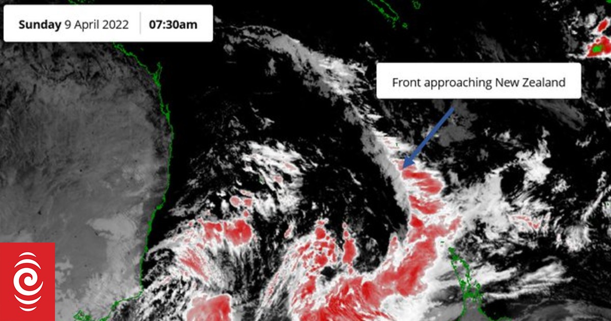
A satellite image shows an approaching front in the Tasman Sea on Sunday morning.
Photo: Supplied / MetService
A “strong and complex front” could bring thunderstorms and heavy rain to parts of the country, MetService says.
Satellite images showed the front over the Tasman Sea, approaching the country.
MetService said there was a moderate risk of thunderstorms affecting Northland and Auckland from mid or late afternoon.
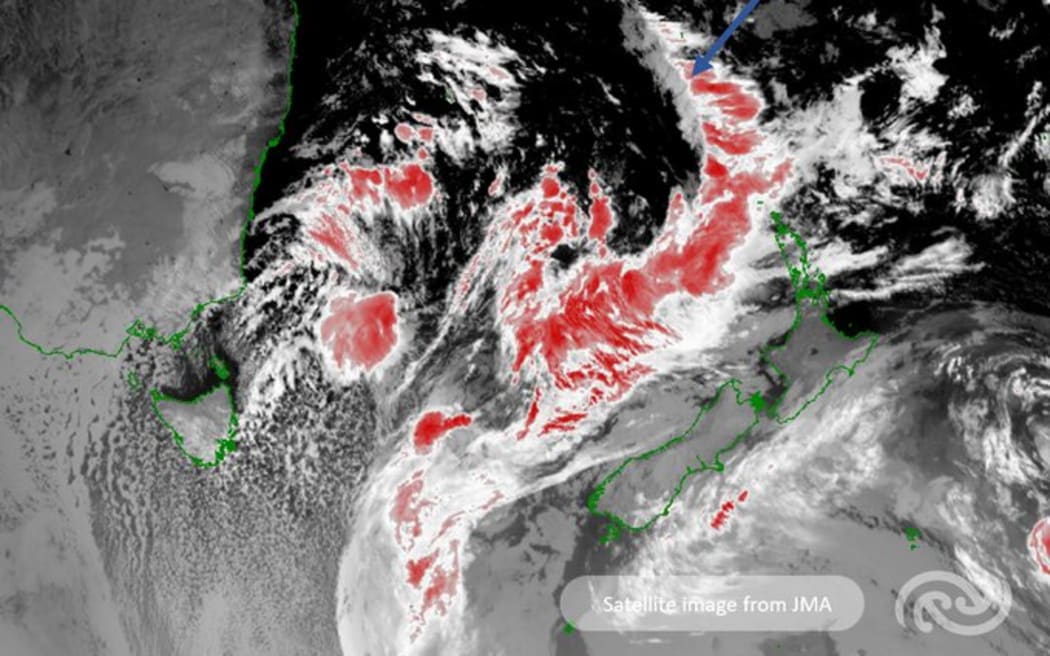
This satellite image over the Tasman Sea shows the strong and complex front approaching the country.
There are active thunderstorms along this front. You can stay up to date with latest thunderstorm outlook here: https://t.co/BZWb807s5l pic.twitter.com/8tA2KFicAu
— MetService (@MetService) April 8, 2023
In the evening, it could approach Great Barrier Island, Coromandel Peninsula, Waikato, Waitomo, Taumarunui and North Taranaki.
Bay of Plenty, Rotorua and Taupo were also at risk, later at night.
Northern parts of the South Island could also be affected, but the risk of thunderstorms could be close to moderate near Golden Bay.
An orange heavy rain warning is in place on Sunday from 4pm to Monday 4am for Mount Taranaki, with 80 to 100mm of rain expected to accumulate.
A warning was also in force for Tasman District northwest of Motueka from 5pm until Tuesday noon, with 80 to 120mm of rain expected.
Heavy rain watches will also be in place on Sunday night and Monday for Bay of Plenty ranges east of Ōpōtiki, Tararua Range, the Richmond Range including the Rai Valley, and Westland from around Otira southwards.
MetService said the thunderstorms were expected to be quite squally, with localised heavy rain of 10-25mm/h, hail, and wind gusts of 90-100km/h.
Warnings have been lifted for Gisborne and Hawke’s Bay where heavy rain battered the regions on Saturday.
There was also the chance of one or two small tornadoes, which were expected to be small and localised if they occured.
Thunderstorms could also become severe later on Sunday and MetService forecasters were monitoring the situation.
Where is wet weather, or at least 10+ mm of daily rainfall, most likely in the coming days?
high odds
medium odds
some odds pic.twitter.com/xdfjV4cILq— NIWA Weather (@NiwaWeather) April 8, 2023


