
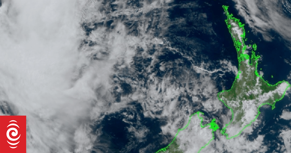

A mass of cloud to the northwest of the motu is a low pressure system that has formed off the coast of Australia and is bringing a change in weather for the weekend, MetService forecasters said.
Photo: Supplied/ MetService
A change in the weather is expected this weekend, with heavy rain warnings and watches for Otago, Westland and Tasman, and thunderstorms that could reach many regions.
A low pressure system and fronts have been moving east from Australia to New Zealand, and from Saturday evening could dump rain or showers across many regions, MetService forecasters said.
North Island: Thunderstorms looming
Saturday morning started off warm for Tauranga, which was already 20C by 6am on Saturday, MetService said.
But the incoming system could mean weekend thunderstorms for the west and north of the North Island, from Taranaki to Northland, with localised rainfalls up to 25mm an hour and strong wind, gusting to 90km/h. And there was a lower chance, but the thunderstorms could also reach central parts of the North Island.
South Island: Heavy rain warnings and watches for some areas
An orange heavy rain warning was issued for Westland, where up to 200mm of rain was expected in some places between late morning Saturday and Sunday evening.
Yellow heavy rain warnings were also issued – for both Otago and Tasman – but these could be upgraded, MetService warned.
There was a moderate risk of thunderstorms south of the glaciers, where localised rainfall could reach up to 25mm an hour or more, and a lower risk for the area from Nelson and Tasman to Westland.
People should make sure they are prepared and stay up to date with changes to the forecasts, warnings and watches, MetService said.
Sign up for Ngā Pitopito Kōrero, a daily newsletter curated by our editors and delivered straight to your inbox every weekday.


