
Cyclone Gabrielle is expected to continue on a path southeast over the east of the North Island, before moving away to the southeast later on Tuesday.
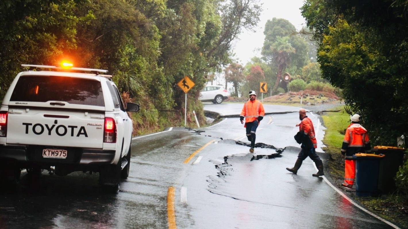
MetService says many parts of northern and central New Zealand are being hit by heavy rain and damaging winds are battering the regions.
Red heavy rain warnings remain in place for Northland, Coromandel and Hawke’s Bay.
Meanwhile, red severe gales warning are in place for Northland, Auckland, Coromandel and Taranaki.
READ MORE:
* Great Barrier Island ‘in for hard night’ as Cyclone Gabrielle tracks closer
* Red weather warnings spread as Cyclone Gabrielle hits Aotearoa
* Red weather warnings to ‘blanket’ most of the North Island over the coming days
David White/Stuff
Scenic Drive near Titirangi, Auckland, has been closed due to undermining.
Orange strong wind warnings are also in place for much of the North Island.
Large waves, storm surges and coastal inundation are affecting exposed parts of the North Island’s eastern coast.
The Coromandel is due to receive a further 20 to 30mm of rain about the ranges on top of what has already fallen, with lesser amounts expected in the coastal areas.
Meanwhile, severe southeasterly gales gusting between 120 to 130 kph in exposed places are expected to cause significant damage in the region.
Winds are expected to turn to a severe west to southwest gale this afternoon with gusts reaching 120kph north of Tairua Harbour.
While experiencing a reprieve from heavy rain, the Auckland region is urged to brace for severe gales, with southwesterly gusts reaching 120kph in exposed places.
The severe gales are expected to pose a threat to homes, powerlines and the transport network.
Power networks in the region are expected to be significantly impacted with road closures and power outages likely.
Tane Bradley/Waikato Times
State Highway 2 amongst the flooded Paeroa township.
Severe gales are also expected to cause widespread damage in Northland on Tuesday with 120kph southwesterly gusts likely to down power lines, uproot trees and possibly lift roofs.
Coupled with the powerful gusts, the region is under a heavy rain warning from 7am until midday on Tuesday with a further 50 to 90 mm of rainfall expected.
Heavy rain had eased in the Gisborne region on Tuesday morning, however, another period of heavy rain is forecast to bring 50 to 80mm of rain this afternoon and evening.
Following heavy rain overnight, further rain is expected to cause rivers and streams to rise rapidly while surface flooding and slips are possible.
Further south, Hawke’s Bay can expect a further 50 to 100mm of rain in the ranges south of the Napier to Taupō road and about the eastern hills south of Napier.
Rainfall is expected to reach peak intensities of 10 to 20mm an hour, but 25 to 40mm an hour is possible in thunderstorms.
Southeast winds are expected to blast Taranaki from 7am until 9pm on Tuesday.
Forecast to turn to a severe southerly gale on Tuesday morning with gusts reaching 120kph, MetService warns damaging gusts could get up to 130 to 140kph in the morning.
Taranaki is expected to accumulate 100 to 150mm of rainfall which may cause streams and rivers to rise rapidly.


