The Coromandel is expected to be the epicentre of the North Island’s bad weather on Thursday, with more heavy rain forecast to batter the area.
A heavy rain warning is in place until 11pm as a subtropical storm sweeps through.
People have been warned to either head home or be prepared to shelter in place until Sunday.
In Auckland, MetService had recorded 12.6mm of rain by 7.30am and had forecasted a total of 62mm to fall throughout the day.
READ MORE:
* People urged to get to safe locations before storm descends on Coromandel
* Wellington siblings $1000 out of pocket after Auckland festival cancelled
* Hundreds of cancellations as Coromandel weather warnings keep tour operators off water in prime season
Parts of Auckland have also lost power, according to Vector, including in Titirangi, Stanmore Bay, Paremoremo and the rural area northeast of Helensville.
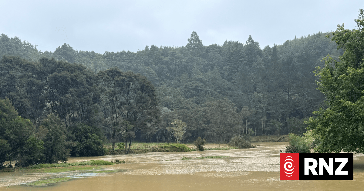
“In addition to the 50 to 70mm that have already accumulated expect a further 140 to 180mm [of rain],” MetService said in its warning for the Coromandel Peninsula.
MetService’s Curtis Hayes said Auckland had become the dividing line between the epicentre of the heavy rain in the Coromandel and isolated showers in Northland.
Rachael Tucker/Supplied
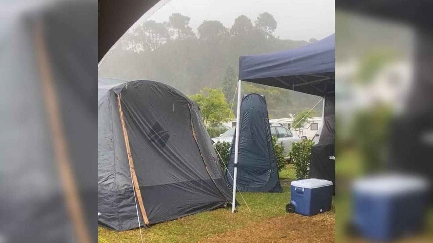
Many people packed up and left Cooks Beach as rain poured down on the campsite.
Hayes said most of the rain forecast would hit the east of the city.
“The system has shifted a little bit further west than our model shows … but it looks like Auckland is being spared.”
Hayes said the forecast of 62mm might be on the high side. However, if 62mm did fall for Auckland it would be double what central parts of the city saw on Wednesday and it would likely bring slips and surface flooding.
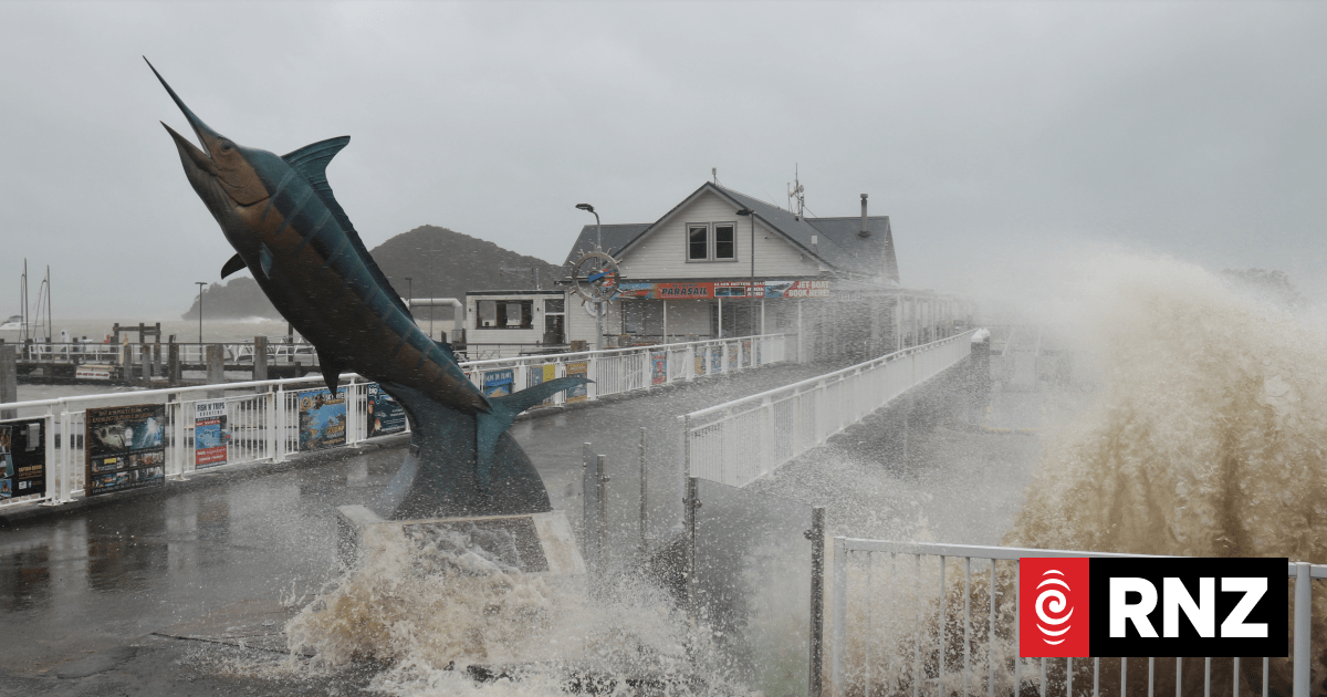
There had been a strong wind warning in effect overnight until 5am for Auckland, including Great Barrier Island. A heavy rain watch was also in place through till 9am.
On the east coast of the North Island, a heavy rain warning was in effect for Bay of Plenty west of Matata, through till 9am Friday.
Stuff
The Coromandel is expected to be the epicentre of rain on Thursday. (File photo)
“Expect 140 to 200 mm of rain to accumulate. Peak rates of 10 to 20 mm/h expected,” MetService said.
“Note that this warning may be extended since further bursts of heavy rain are possible during the remainder of Friday and into Saturday.”
Heavy rain warnings were also in effect in the South Island, for Tasman northwest of Motueka through till 11am Friday and the ranges of Westland south of Otira through until 4am Friday.
Hayes said the rain was set to continue into the weekend and a cold front would move its way up the country from the south over the next couple of days.
The nice weather over Christmas was to blame, he said, with high pressure system sitting off to the east of the country and not moving, preventing the bad weather from moving off.
KATHRYN GEORGE/Stuff
The rain is sticking around – hopefully you got your sunshine fix in last week.
Holiday and festival plans thrown into disarray
On Wednesday, the Thames-Coromandel District Council told locals and visitors to “err on the side of caution” and seek safety in a secure location – or even head home.
“The accumulation of rain by Saturday could see surface flooding, slips, road closures and power issues, so it is worth hatching a plan today to ensure no-one is stuck or isolated,” Thames-Coromandel Civil Defence Controller Garry Towler said earlier.
Stuff understands many people packed up and left Cooks Beach as rain poured down on the Coromandel campsite. Meanwhile, in Northland, Whangaruru Beachfront Camp and Motel owner Robynne Cooper on Wednesday said “hardly anyone is left” after strong winds and rain hit the campsite.
Others have found themselves out of pocket due to the weather too. A Coromandel tour operator has had to cancel hundreds of summer bookings due to the weather warnings, and two Wellington siblings are $1000 down after a festival was cancelled less than 24 hours from kick-off.
2 minutes of stuff
The day’s talking point and stories you don’t want to miss, delivered to your inbox
Wet weather across the motu
MetService forecaster Aidan Pyselman said almost nowhere would escape the bad weather this week.
The culprit was a low – a region of air that spirals inwards, bringing wet and windy weathers – sitting in the north of the Tasman Sea.
It couldn’t progress and move away from New Zealand because a high pressure system east of the Chatham Islands had “kind of just parked” there, blocking the low from moving.
It meant wet weather across the motu for at least the rest of the week, and potentially next week too.
“The top of the country is seeing the worst of it at this stage,” Pyselman said.
“There might be some reprieve in the north on Saturday, and it looks like we’ve got another little low starting up early next week.”


