
Tom Lee/Stuff
Since warm air hold more moisture than cold air, significant rainfall accumulations are likely right through this weekend.
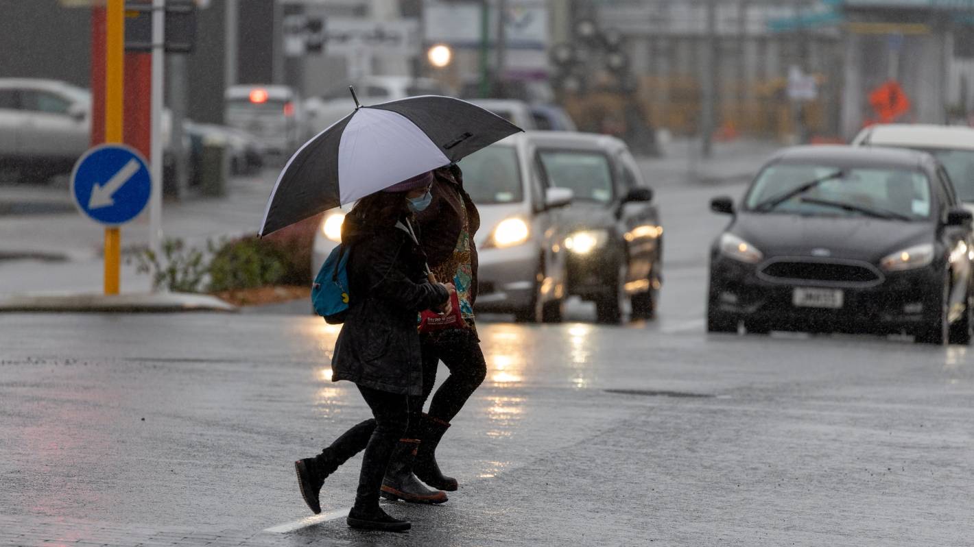
An anticipated deluge has begun in Northland as parts of New Zealand have been warned to expect more than 30 hours of rain.
Shortly before 2pm on Wednesday, MetService said heavy rain was moving down Northland with 15mm recorded by Kaitaia Airport in the past two hours.
Fire and Emergency said additional resources had been sent to Kaikohe, including some Urban Search and Rescue personnel, in case they were needed.
Deputy national commander Brendan Nally said Fire and Emergency was being proactive in making early preparations.
READ MORE:
* ‘More than a month’s worth of rain’ set to hit parts of New Zealand this week
* Heavy rain to hit Bay of Plenty, Nelson areas as severe weather moves across New Zealand
* Heavy rain warnings ‘not welcome’ news for cyclone-hit East Coast
Further deployments would be considered for other locations when there was more certainty, he said.
“Although there is still some uncertainty about exactly where the rain will hit, we are ready to respond where we are needed.
“We have extra resourcing ready to be deployed at short notice.
“Our focus is on supporting our communities, some of which have already been affected by previous events this year, most notably Cyclone Gabrielle,” he said.
MetService said heavy rain warnings would continue for Eastern Bay of Plenty, Taranaki and the west coast of the South Island, while heavy rain watches were also in place for Northland, Tongariro National Park, Tasman and Buller.
Taranaki’s heavy rain warning was in place for 48 hours with 300 to 400mm of rain expected near the mountain and 150 to 200 mm elsewhere.
Westland south of Otira, also had a warning in place for more than 30 hours, while watches for Northland and Tongariro National Park also spanned more than a day.
METSERVICE
Latest MetService Severe Weather.
Thunderstorms were possible for Taranaki, Westland south of Otira and Fiordland north of Doubtful Sound from Wednesday morning onward.
Things may ease off in the Bay of Plenty by the end of Wednesday as the active fronts are expected to meet in the middle, bringing heavy rain to Wellington and in Nelson.
MetService said heavy rain might cause streams and rivers to rise rapidly, with surface flooding and slips also possible.
Auckland awoke to fog on Wednesday, but at 6.30am, as the muggy week continued.
An Auckland Airport spokesperson said no flights in the region had been impacted by it.
“New Zealand is stuck in very warm moist air coming from the north,” said MetService forecaster Gerard Bellam
“We saw temperatures touching the mid-20s on Tuesday and warm temperatures [continuing] even overnights.
“It is being driven by the tropics and may stick around for quite a few days.”
Average temperatures were likely to be in the high teens and mid-teens for the North Island. Further south, Dunedin could witness temperatures as high as 16 degree Celsius on Wednesday morning.
“Since warm air holds more moisture than cold air, significant rainfall accumulations are likely right through this weekend,” Bellam said.


