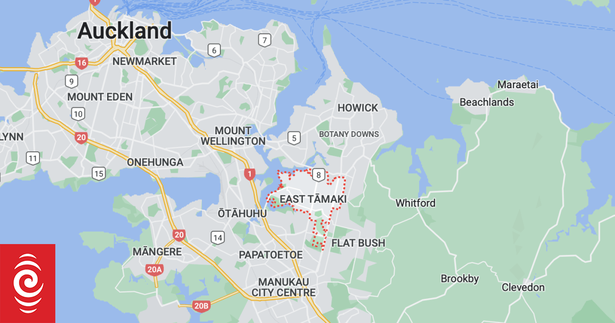
The tornado reportedly struck in the East Tamaki and Flatbush areas.
Photo: Screenshot / Google Maps
There are reports of a tornado in East Auckland tonight as severe thunderstorm watches have been issued for much of the central and upper North Island.
We’re hearing reports of tornado-like weather in East Tamaki tonight, causing damage to many homes. If your life is at risk, phone 111 immediately. We’re working with emergency services now to see if they need any further support from us.
— Auckland Emergency Management (AEM) (@AucklandCDEM) April 9, 2023
Fire and Emergency New Zealand said they were responding to multiple calls for assistance after a tornado was reported in Auckland.
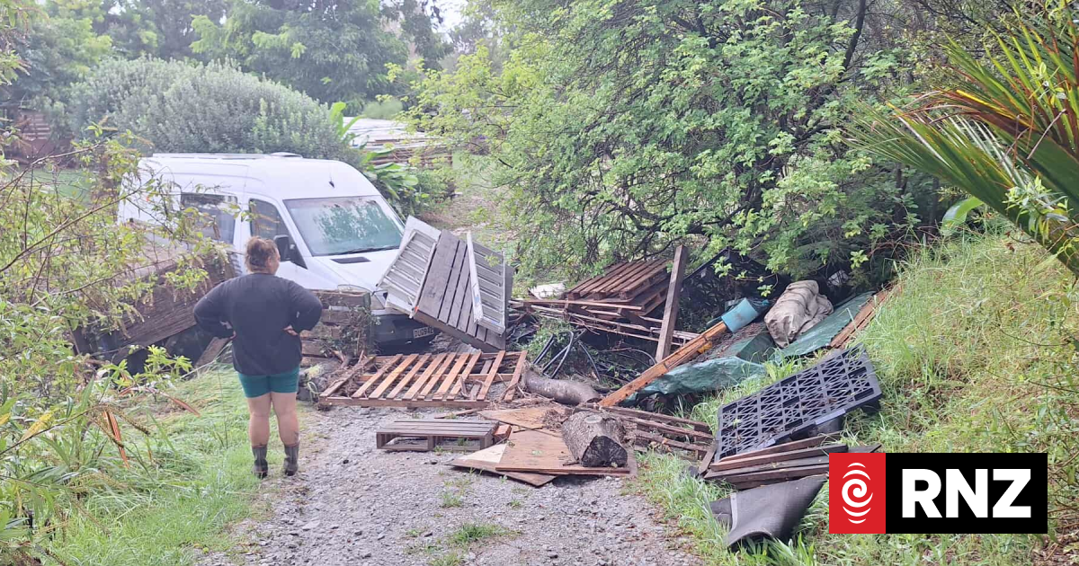
The calls include roofs lifted off houses and fallen trees, mostly in an area from Flatbush to Tamaki.
Fire crews are responding to calls and Urban Search and Rescue crews are being mobilised.
As of 9.30pm Fire and Emergency had received about 15 calls.
On social media a person described seeing a “mini-tornado” go past their house in east Tamaki, although it did not cause any damage.
Another said their home in Erne Crescent in East Tamaki was hit.
One woman in Flatbush wrote on Facebook, “Witnessed it first hand … a little damage to one of our cars … fences and trees downed in some parts of the neighbourhood.”
Severe thunderstorm watch
Metservice has issued a severe thunderstorm watch for the Bay of Plenty and Rotorua between 10pm tonight and 5am Monday.
Meanwhile, Auckland and Northland could possibly see squally thunderstorms in the coming hours, with hail possible in Northland.
A full list of current MetService warnings can be found on their website.
Forecaster Aidan Pyselman said there could be small localised tornadoes.
“(There is) that band of heavy rain, so there may be embedded thunderstorms which could have your squally wind and downpours, so I guess people need to be aware of driving conditions and potential of flash flooding and things like that.”
An orange rain warning is also in place for Taranaki and Tasman, north of Motueka.
Metservice said the band of heavy rain and squally thunderstorms is expected to move south-eastwards over the northern and central North Island overnight.
It says there is a risk that that some could be severe in the Bay of Plenty and Rotorua from about 10pm tonight until 5am tomorrow.
Rainfall could reach up to 40 millimetres an hour, causing flooding and slips.
There could also be hail, wind gusts reaching 100 kilometres an hour and tornadoes mainly near the coast.
Satellite images showed the front over the Tasman Sea, approaching the country.
MetService earlier said there was a moderate risk of thunderstorms affecting Northland and Auckland from mid or late afternoon.
This satellite image over the Tasman Sea shows the strong and complex front approaching the country.
There are active thunderstorms along this front. You can stay up to date with latest thunderstorm outlook here: https://t.co/BZWb807s5l pic.twitter.com/8tA2KFicAu
— MetService (@MetService) April 8, 2023
Northern parts of the South Island could also be affected, but the risk of thunderstorms could be close to moderate near Golden Bay.
An orange heavy rain warning is in place on Sunday from 4pm to Monday 4am for Mount Taranaki, with 80 to 100mm of rain expected to accumulate.
A warning was also in force for Tasman District northwest of Motueka from 5pm until Tuesday noon, with 80 to 120mm of rain expected.
Heavy rain watches will also be in place on Sunday night and Monday for Bay of Plenty ranges east of Ōpōtiki, Tararua Range, the Richmond Range including the Rai Valley, and Westland from around Otira southwards.
MetService said the thunderstorms were expected to be quite squally, with localised heavy rain of 10-25mm/h, hail, and wind gusts of 90-100km/h.
Warnings have been lifted for Gisborne and Hawke’s Bay where heavy rain battered the regions on Saturday.
Wairoa’s mayor said the region dodged a bullet as the Easter weather hasn’t turned out to be as bad as forecast.
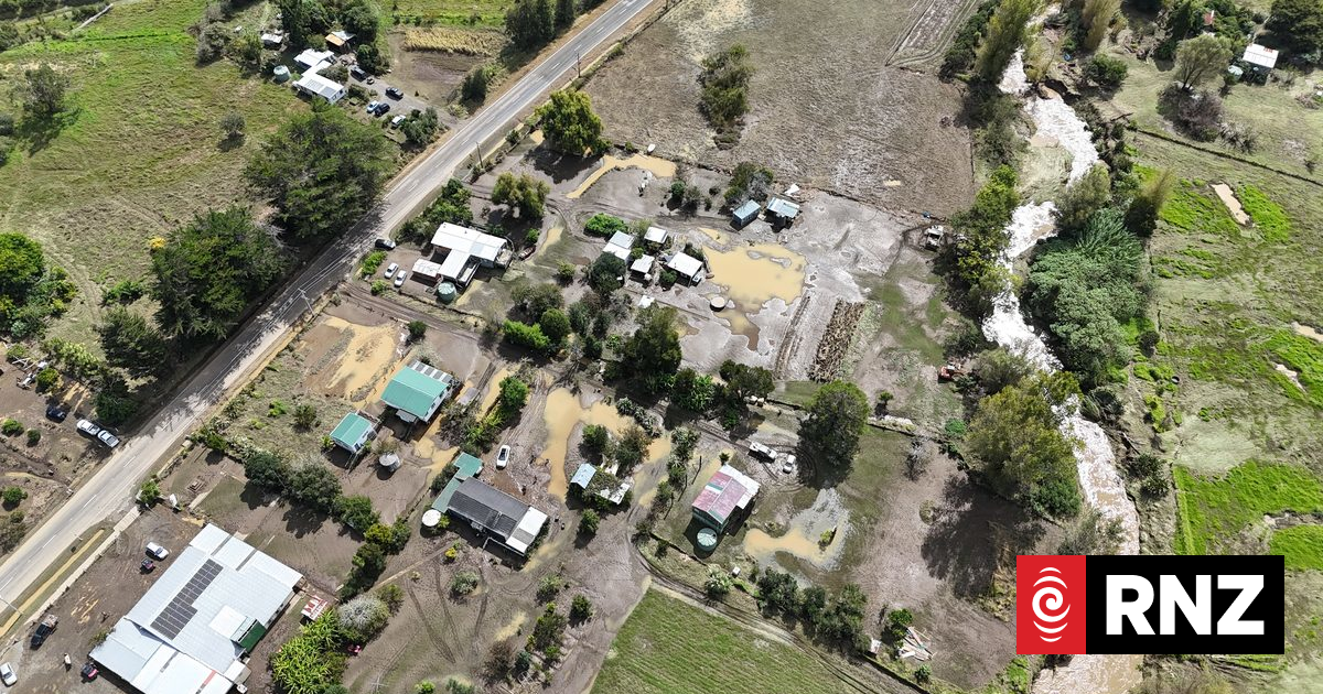
The Hawke’s Bay town is still recovering from the aftermath of Cyclone Gabrielle.
Craig Little said it is painful as the wet weather keeps everything damp. He said repairs are ongoing but not fast enough.
People are frustrated that it is taking so long to get builders or insurance problems sorted out, he said.
Little said the priorities in Wairoa include clearing damaged houses and fixing roads.

