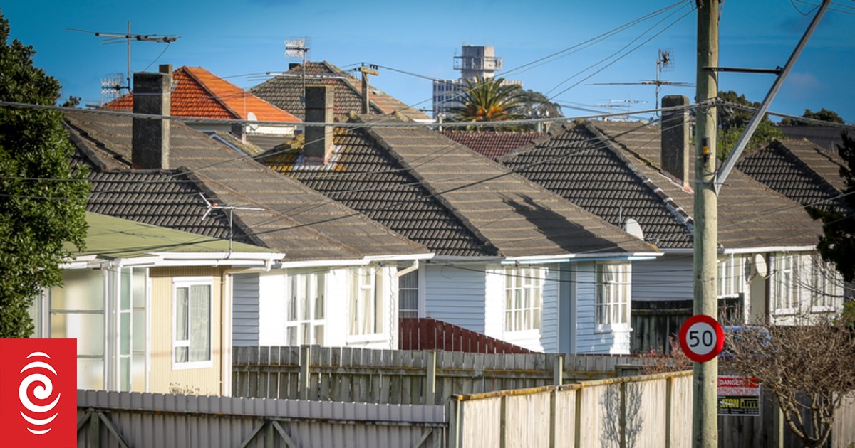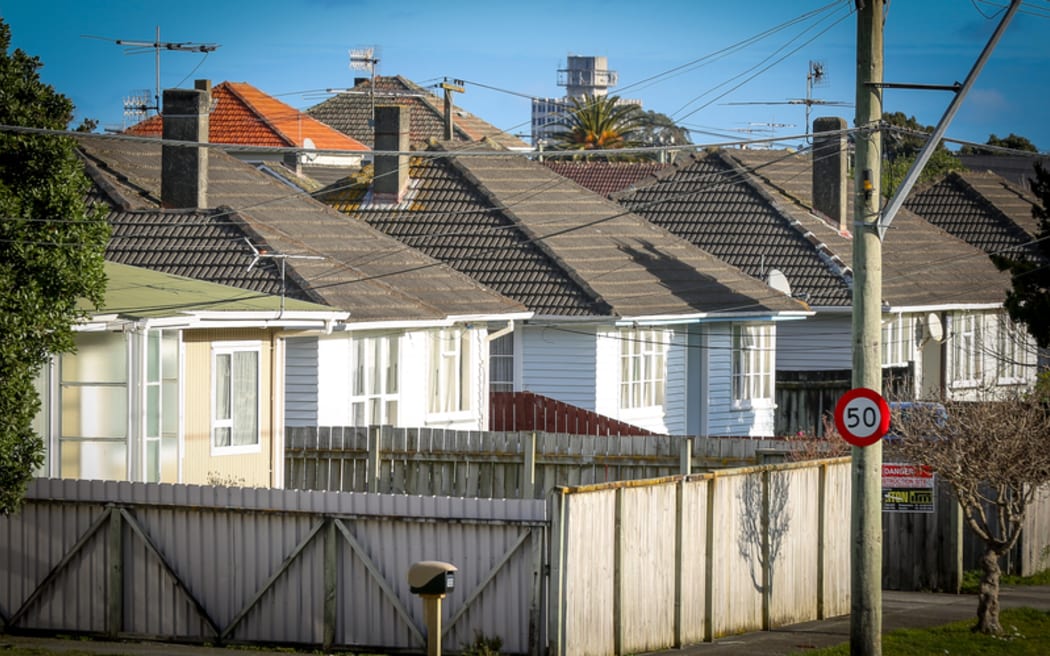
State housing in Upper Hutt (file photo).
Photo: RNZ / Alexander Robertson
A sizeable chunk of state housing is on flood prone land, and Kāinga Ora continues to put new builds on land it knows will flood in the future.
Currently, more than 15 percent of the state housing portfolio was on flood prone land.
And of Kāinga Ora’s planned investments, 16 percent were in rainfall or river flood prone areas and 1.7 percent were in coastal flooding zones at risk of sea level rise.
Of its current stock, at least 4350 homes in Auckland were built in flood zones, with a total property value of more than $3.1 billion.
The research, presented to Kāinga Ora by the National Institute of Water and Atmospheric Research (NIWA) in February 2020, suggested things would only get worse as sea levels rise, and climate change drives stronger storms.
RNZ requested any reports Kāinga Ora had regarding flood risk in the wake of the Auckland Anniversary Weekend floods. Hundreds of Kāinga Ora homes were flooded during that storm, many of which were red-stickered.
In response to the request, Kāinga Ora strategy, finance and performance manager, Gareth Stiven, said the organisation commissioned a report from NIWA in 2019 because climate change was driving more extreme weather events.
“The NIWA study, which was delivered in February 2020, indicated some Kāinga Ora homes were vulnerable to exacerbated flooding events,” Stiven said.
A second report was compiled by Kāinga Ora in July 2020, summarising much of the NIWA report.
The NIWA report gave detailed analysis of how many Kāinga Ora properties were at risk from coastal flooding, fluvial and pluvial flooding (caused by rainfall or rising river levels), drought, and extreme heat.
It also noted a significant information gap when it came to flood data, and the efforts of councils to create flood risk management rules.
“Historically, Kāinga Ora’s approach has been to meet minimum council requirements or to address risks when they were obvious,” Stiven said.
“However, we have been taking a more robust approach since receiving the NIWA report.”
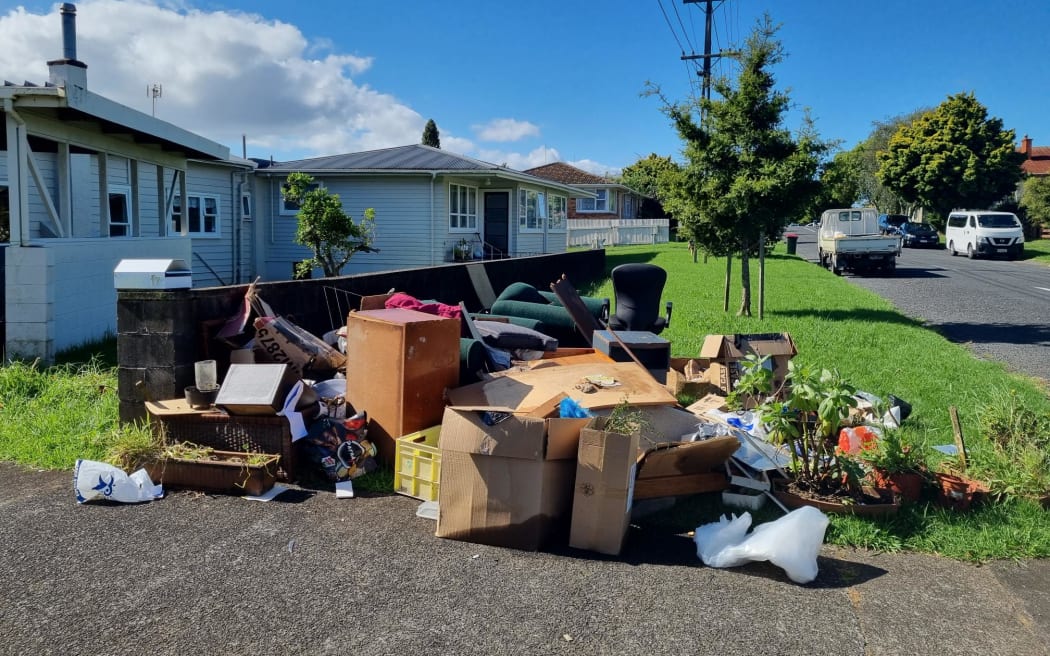
Flood-damaged furniture and household items are piled on the roadside on a Mt Roskill street.
Photo: RNZ / Felix Walton
The report generally looked at one-in-100 year weather events, and the impact they might have on property and homes.
Kāinga Ora now managed more than 70,000 homes throughout the country, the majority of which it owned.
Just over 15 percent of those homes were in a flood prone area, and the report said Auckland represented 46 percent of the agency’s total housing exposure.
At least 500 further homes were exposed to coastal flooding.
The report also looked ahead. NIWA told Kāinga Ora risk to housing could increase by six times as sea-levels rose by one metre.
“Sea level rise means areas that today are inundated occasionally will be inundated much more frequently in the future,” the report read.
“Modelling based on Auckland suggests an extreme coastal event that occurs once every 100 years today is likely to occur once every two years by 2050, nine times a year by 2080, [and] over 200 times a year by 2110.”
Today, 23 percent of Kāinga Ora homes that could be damaged by extreme weather were in Dunedin, while less than one percent were in Napier.
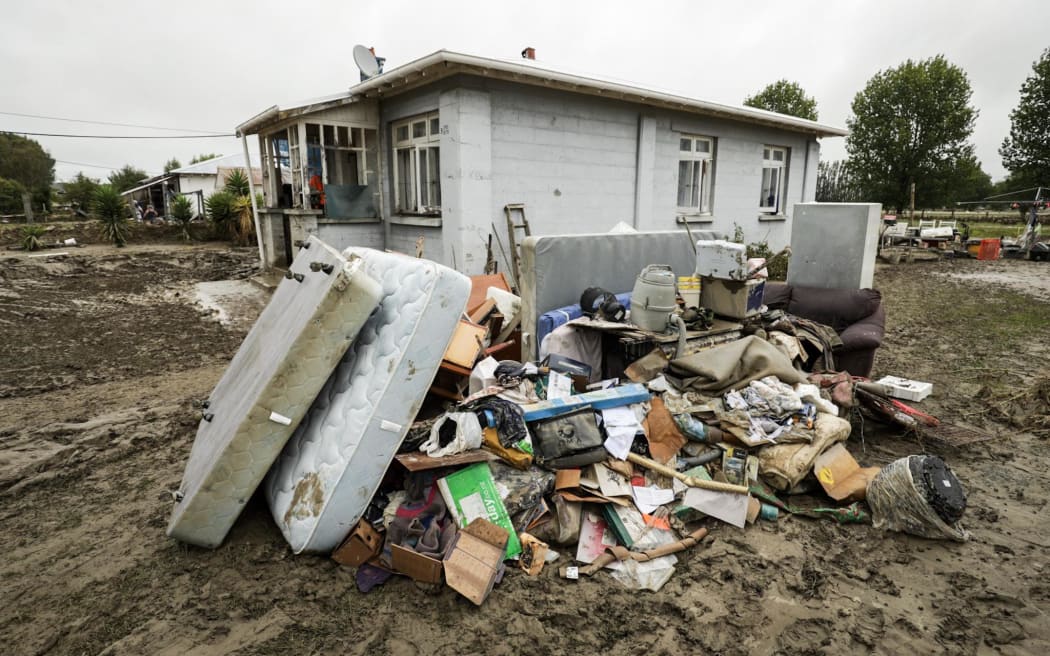
Huge swathes of Wairoa were inundated with water during Cyclone Gabrielle
Photo: Nathan McKinnon
By 2110, the report said 37 percent of the housing stock damaged by extreme weather would be in Napier, with Dunedin dropping to just four percent.
That was mainly through coastal flooding caused by sea level rise. A coastal flood today would likely damage one home, but by 2110 the report predicted that 581 homes would be flooded.
“It is… likely that housing and properties already exposed to flooding will experience more frequent and/or higher magnitude impacts,” the NIWA report read.
“These impacts will be further exacerbated as urban growth continues within current or future floodplains.”
Stiven said the report, and further risk assessments being taken by Kāinga Ora as new data became available, had changed the way the organisation assessed projects.
“In 2023, Kāinga Ora is establishing its own tolerances for climate risks, and improving the quality of data available so we can make better decisions when it comes to avoiding, adapting to or mitigating climate risks, such as flooding,” he said.
“Managed retreat is one form of climate change adaptation under consideration by Kāinga Ora, however it is a nuanced process and a collective challenge for all public service agencies or crown entities.”
“We are continuing to develop our flood risk data, and managed retreat options in close consultation with other public service agencies.”
With projects that were still being built on flood prone land, Stiven said most of those decisions were made before the climate change reports were sought by the agency.
“Much of this is prior to the significant emphasis now placed on climate change resilience and the availability of more detailed flood hazard information.
“Where possible, Kāinga Ora is trying to manage and reduce flood risk,” he said.
“Since June 2022, all significant Kāinga Ora projects are required to undertake a climate change risk assessment during planning; this includes exposure and vulnerability to flooding, and mitigating actions for all highly rated risks.”
Flood protection and mitigation work was designed to withstand a one-in-100-year flooding event, Stiven said.
It was common for homes to be built with a higher floor level, and rain gardens, water detention tanks and permeable concrete in the carriageway were common mitigation practices.

