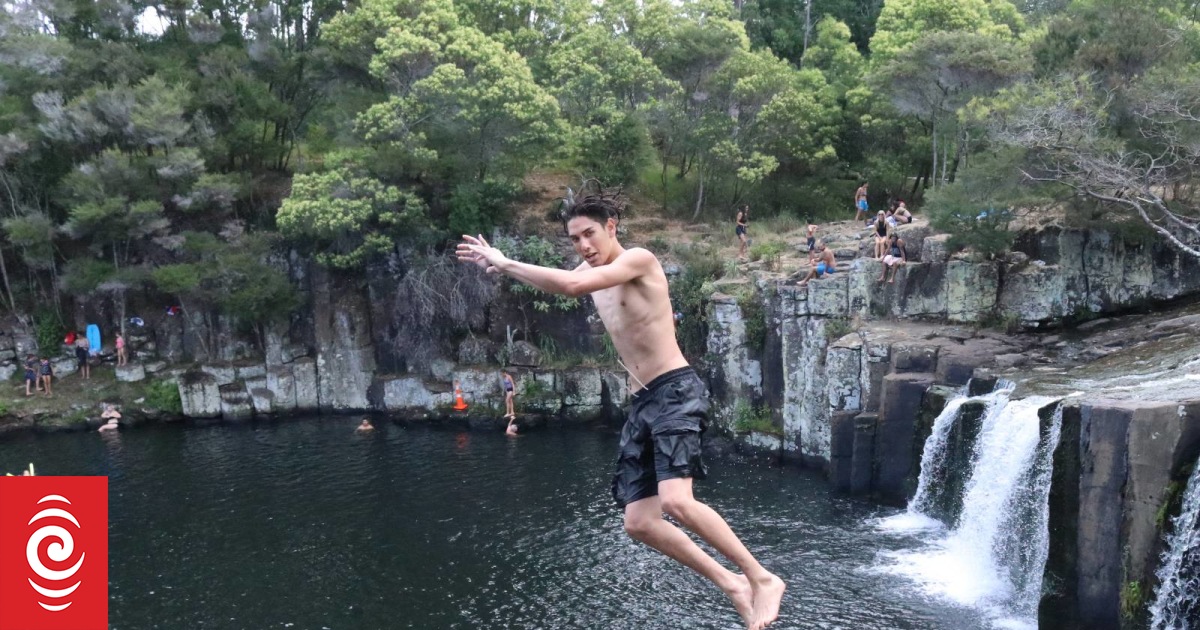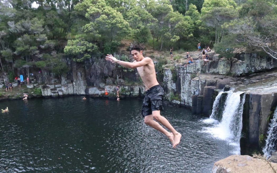
Charlie’s Rock, on Waipapa River near Kerikeri, is a hugely popular summer swimming spot.
Photo: Peter de Graaf / RNZ
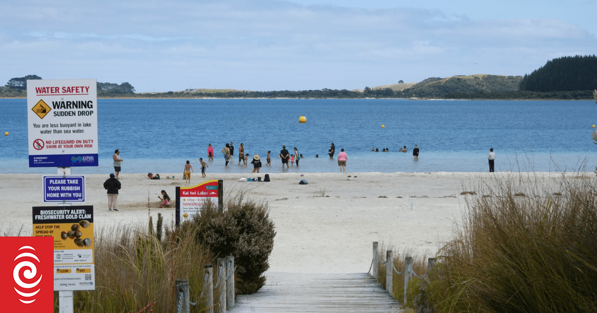
Northlanders keen to cool off this summer can now get real-time water quality updates before they hit the beach or their favourite swimming hole.
Safeswim.org.nz provides information on 50 coastal and 20 freshwater swimming spots across Northland, displaying green droplets on an interactive map for sites that are safe for swimming and red droplets for sites that are not.
The website combines historical water quality results from each location with data about environmental influences, especially rainfall, to predict water quality on any given day of the year.
Under the previous system, water samples were taken every Monday during summer then sent off to a lab for testing, but the results could be out of date even before they were published.
Safeswim, a joint initiative by Northland Regional Council, Auckland Council, Surf Life Saving New Zealand and others, also provided information on popular Auckland swimming spots.
Northland regional councillor Amy Macdonald said it would be the organisation’s second summer using Safeswim.
The new system provided a year-round “one-stop shop” for people heading to the water because, as well as water quality data, it provided information on tides, physical hazards and lifeguard patrols.
Macdonald said water predicted to meet national safety guidelines was marked with a green droplet, indicating a low risk of illness from swimming.
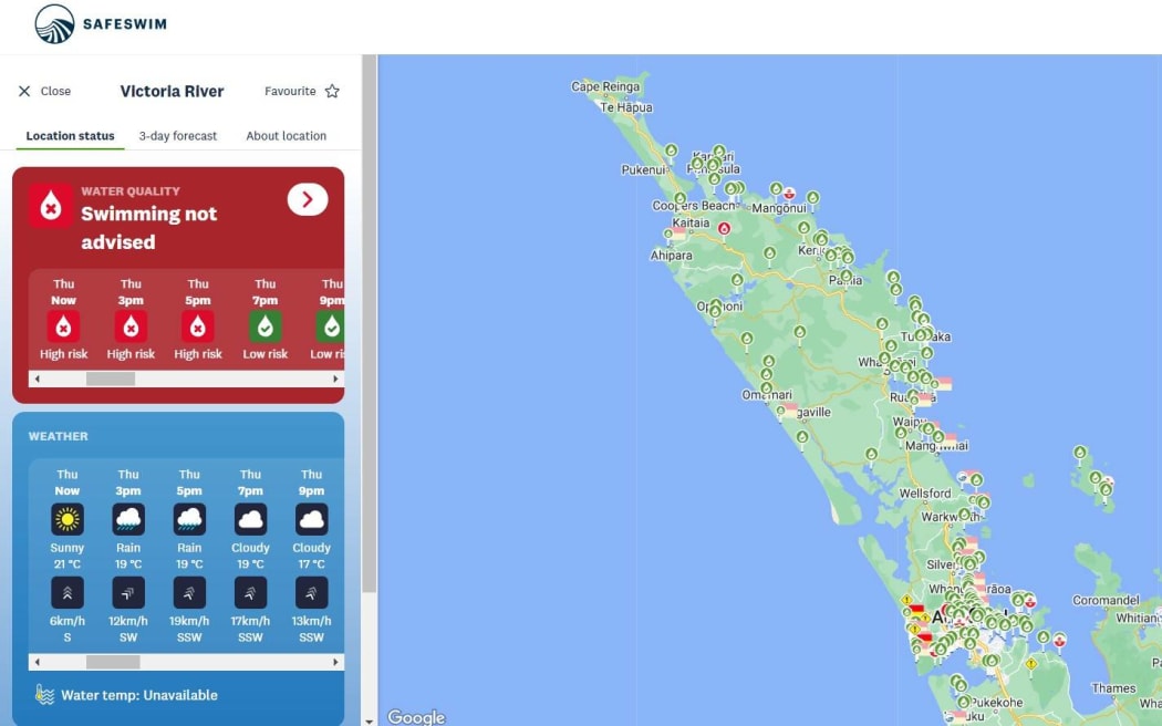
The Safeswim app gives real-time information about which beaches and streams across Auckland and Northland are suitable for swimming.
Photo: Supplied
A red droplet indicated bacteria levels above national guidelines, with one in 50 people likely to get sick after putting their head under water.
The very young, the elderly and people with impaired immune systems faced a higher risk of falling ill.
A black pin on the Safeswim map indicated a confirmed sewage overflow.
In such cases, as recently occurred in central Auckland and at the Far North’s Tokerau Beach, councils and health authorities strongly advised against swimming.
Macdonald said regular water testing would continue to make sure the predicted results were accurate.
At publication time, Northland swimming spots deemed to be unsafe included Tauranga Bay estuary, Tirohanga Stream near Kawakawa, and Lily Pond on the Waitangi River near Haruru.
Unusually, Charlie’s Rock on the Waipapa River, in Kerikeri, was listed as unsafe while Kerikeri Basin, by the Stone Store, was marked as safe.
The Safeswim results were also posted on the ‘Can I Swim Here?’ section of the national environmental reporting website LAWA.

