Aucklanders, there’s a long weekend on the horizon. But if you can’t see it, that’ll be because the heavy rain is cutting visibility.
MetService has issued heavy rain warnings for Northland, Auckland, Coromandel Peninsula and western Bay of Plenty.
There’s also a severe thunderstorm watch in place until 3pm on Friday, and a strong wind watch in place for Auckland until 8pm on Friday night.
Heavy rain is arriving early for Northland and Auckland on Friday.
Areas of North Auckland around Te Arai are without power as of 6.20am on Friday.
Vector’s website shows large patches near the Auckland border have had power cuts since at least 3am on Friday.
Rebekah Parsons-King/Stuff
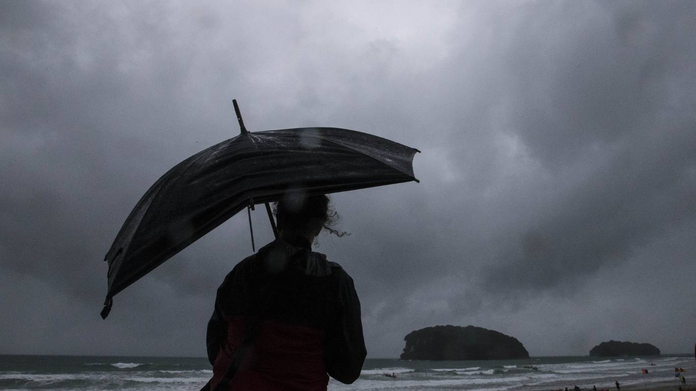
Aucklanders, there’s a long weekend on the horizon. But if you can’t see it that’ll be because of the heavy rain in the way. (File photo)
Northland has seen its fair share of heavy rain overnight, with another 100mm or so expected.
Kāeo has seen 22mm of rain in the past 24 hours, while places like Ngungruru have had more than 30mm.
Throughout the day, Northland can expect peak rates of 15mm to 25mm per hour during Friday morning and afternoon. Localised downpours of up to 40mm per hour are possible.
Supplied
Power outages around Te Arai in north Auckland.
Those same peak rates are possible for Auckland on Friday too, with up to 100mm expected to fall.
Taranaki residents are being urged to watch out for heavy rain from 2pm onwards.
If you’re looking to travel, it’s worth taking a second glance at your plans – expect delays on the roads.
Waka Kotahi NZTA cancelled all Pine Harbour ferry services until further notice on Friday, due to severe weather.
It’s the third major downpour for Northland in January 2023 alone.
Meanwhile, in the Coromandel Peninsula and in the Bay of Plenty west of Whakatāne, 110mm to 150mm of rain is forecast about the ranges from Friday until Saturday, with 60mm to 90mm expected closer to the coasts.
Even after the heavy rains ease, showers are still on the cards.
Gale force winds are expected for Auckland from early until late on Friday, and northeast winds could get to even severe gale force in exposed places.
MetService meteorologist Angus Hines said the impacts and possibilities of slips and flooding are likely to be big, particularly because of how wet it’s already been since the end of 2022.
In such conditions, streams and rivers could rise rapidly, and there is a risk of surface flooding, slips and power outages.
There is always a risk of hazardous driving conditions.


