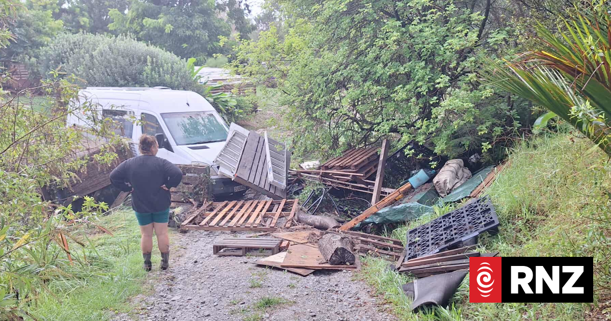
Northlanders can expect more rain from the end of this week.
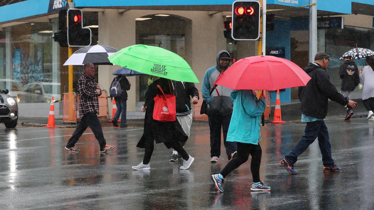
Northlanders should be prepared for all sorts of weather this week, with a mix of temperatures and conditions kicking off the school holidays.
The start of the week is set for strong winds and a weather warning, which will be followed by a couple of fine days and topped off with more strong winds and rain by the end of the week.
MetService meteorologist Kathryn Hodge said the windy days Northland has just had are set to continue.
A strong wind watch is in place for six hours on Monday, from 3pm to 9pm, with gusts of up to 90km/h expected in exposed places throughout the region, she said.
Advertisement
“Everyone will see strong southwesterlies, especially those in the west.
“During Tuesday and into Wednesday those winds are set to ease, with a ridge of high pressure moving across the country.
“That’s going to bring much more settled weather, with lighter winds and more fine weather.”
However, another approaching weather system could bring strong winds and rain from Friday onwards, Hodge said.
Advertisement
/cloudfront-ap-southeast-2.images.arcpublishing.com/nzme/SSWIQXXMDBHN7GWRXKH2YSLYUI.JPG)
“On Friday, strong winds and rain are more from the north to northwest.
“Southwesterlies make things a lot colder, so I imagine the temperatures will tend [towards being] warm, but unfortunately won’t come with any sun.”
After three years of La Niña’s warm and wet weather patterns – causing atmospheric rivers, ex-tropical cyclones, floods, droughts, record temperatures, high humidity and multiple marine heatwaves – the National Institute of Water and Atmospheric Research (Niwa) said Kiwis can expect to finally feel El Niño’s influence over the coming months.
This will mean colder south and southwesterly winds across much of the country and average amounts of rainfall for the eastern regions of the North Island.
During late winter, spring and summer, southwesterly-to-westerly winds may become more prominent with the El Niño weather pattern.
This increases the chance for drier-than-normal conditions.
El Niño has been associated with historically significant droughts in New Zealand, such as in 1972-73, 1982-83, 1997-98 and 2009-10, but it doesn’t always bring one.