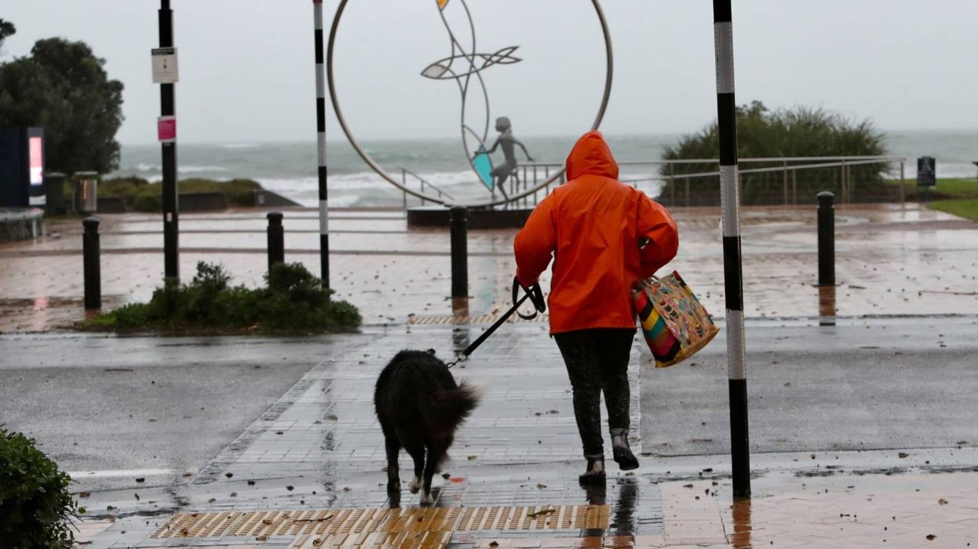
An unstable front that’s already brought “very intense” deluges to parts of the north is moving south and east and could do damage, particularly in Bay of Plenty and the East Coast.
MetService forecaster Fulong Lu said they have a heavy rain warning in place in the Bay of Plenty and to the north of Gisborne until midnight.
Ryan Anderson/Stuff
Strong winds were being felt in Ōrewa in north Auckland on Monday morning.
Coromandel had been hit hard with Whangamatā township getting 58mm of rainfall between midnight and 10am, MetService said.
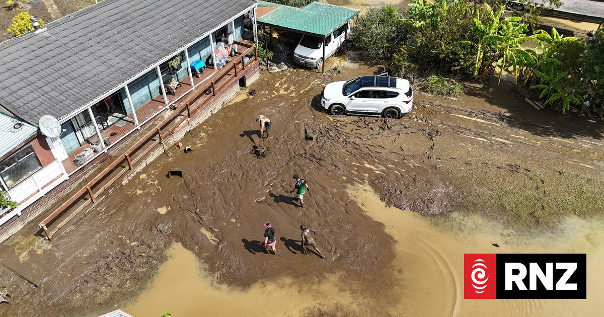
State Highway 25 south of Whitianga is expected to remain closed for some time on Monday night due to heavy flooding and an incoming tide.
READ MORE:
* Drought in Auckland’s rural south pushing up food prices, growers say
* Doubts over new water authority responding to post-flood stormwater issues
* An unexpected side effect of climate change: Is Wellington going to get windier?
Thames District Council said it had reopened all council roads, but people trying to get to Kaimarama should delay their journey or consider a long detour via SH25 and SH25A around the Coromandel Peninsula.
metservice
The band of rain and thunderstorms moved over the North Island on Monday.
Floodwaters brought on by the rain temporarily trapped children and teachers at an early learning centre in Whitianga on Monday afternoon.
A Fire and Emergency New Zealand spokesperson said fire engines were cut off from getting to the children.
But a crisis was averted when the teachers and kids were advised to take an alternate route home, he said.
Lu said there would be some respite from the stormy weather as the system headed out to sea late on Monday.
But the break will only be temporary as a new low pressure front is building out at sea and will make landfall on the West Coast on Wednesday.
Monday’s heavy rain saw mountain ranges in Coromandel registering upwards of 80mm.
Whangārei recorded the heaviest rainfall of 31mm between 7am-9am, while Kerikeri saw 23mm.
Jason Dorday/Stuff
MetService said the rain-band is “moving fast”.
Auckland managed to mostly escape the heavy downpours, with between 10-15mm of rain.
Gulf Harbour ferries were cancelled in the morning and a lane of the Southern Motorway was blocked by flooding, with drivers advised to expect delays.
The weather in Auckland began clearing at 11am.
Hines said there had been numerous lightning strikes recorded offshore on Monday morning, but thunderstorms remained a possibility on land in the North Island in the afternoon.
Bay of Plenty and Rotorua were under a heavy rain warning until midnight and Waikato, Bay of Plenty, Rotorua and Taupō were under a severe thunderstorm watch until 9pm.
Up to 110mm of rain on top of what had already fallen was expected in Bay of Plenty and on the East Coast north of Ruatoria up to 1am on Tuesday
Orange severe weather warnings were in place for the two regions.
It’s the first front in “active week” of weather forecast for Aotearoa.
Another bout of significant rain on Tuesday night into Wednesday morning is forecast for much of the country.
The South Island also has areas under a watch, with the area west of Motueka in the Tasman region expected to see heavy rain until 3pm on Monday, while the Southern Alps could see a prolonged period of rain until 9am Tuesday.
A strong wind watch is in place for Fiordland where northerly winds may approach severe gale in exposed places.
Another period of severe northerly gales is possible from Tuesday evening.
Warm and humid air from the northern Tasman is the driver for wet weather, and the side effect is “very mild” temperatures this week.
Many places will reach 20C, MetService said. Cooler and drier conditions are forecast for the long weekend.


