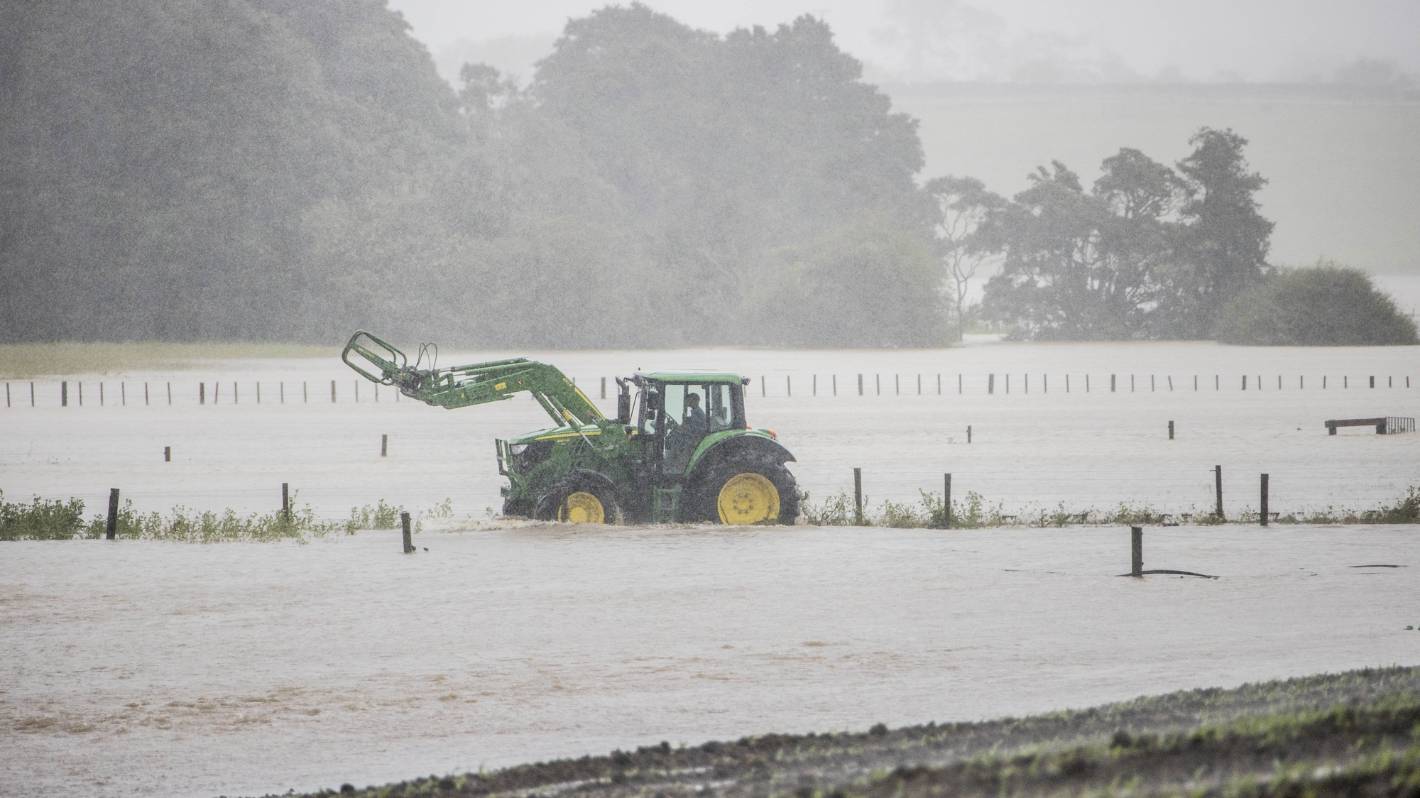
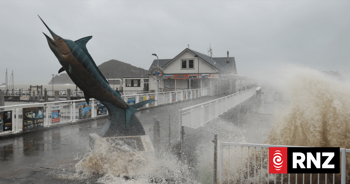
Floodwaters have ruined crops and closed roads as Northland and the northern parts of Auckland have been slammed with nearly a month’s worth of rain over the past 24 hours.
Northland and Auckland have been hit with about 60 to 70 millimetres of rain and MetService is predicting Cyclone Hale will bring another 40-60 millimetres to the region over the course of Tuesday.
The tropical low is then expected to smash into the East Coast in a “significant” weather event.
Flooding has closed several roads in north Auckland, with water flowing across parts of Whangaripo Valley Rd, Tomarata Valley Rd and Waiteitei Rd cutting off residents east of Wellsford from State Highway 1.
READ MORE:
* Dramatic rescue of family whose ute was trapped in swollen river near Ruatoria
* Cyclone Hale sets its sights on Auckland, flooded roads and slips reported
The northbound lane of the highway was was also closed on Tuesday afternoon near Dome Valley due to a fallen tree.
The southbound lane was open, but drivers should expect “significant delays”, police said.
The torrents of rain caused substantial damage to crops, while a local farm manager said she had watched the silage bales she stacked on Tuesday morning wash away.
Ricky Wilson/Stuff
Cyclone Hale brought a month’s worth of rain to north Auckland.
She said she had tried to get contractors in to move the bales ahead of the worst of the flooding, but none were available.
Instead, the flooding had been a “disaster” on top of an already hard season.
The heavy rain warnings would remain in place for southern parts of Northland and northern parts of Auckland though until about 7pm on Tuesday, MetService meteorologist Angus Hines said.
The rainfall had already equalled a typical month’s worth of rain for this time of year and more was on its way.
“We could be looking at a month and a half of rainfall by the time this is all said and done,” he said.
Ricky Wilson/Stuff
Cows stand in a flooded paddock in north Auckland amid Cyclone Hale.
But those regions had got off lightly compared to the Coromandel, which had been hit by around 200 millimetres of rain by Tuesday afternoon.
The rain was expected to keep coming for the region, which could expect about 100 to 150 millimetres by the time the storm blew back out to sea.
One weather model is showing another cyclone could hit the country next week.
One of the major forecasting models is predicting a storm to form in the tropics this weekend and drop straight down towards the North Island during the week, while the other has it dropping down further east and not making landfall at all.


