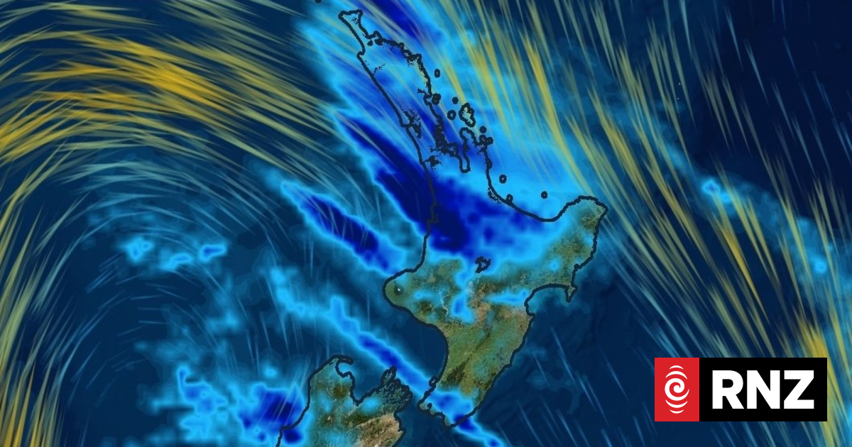
MetService has warned New Zealanders to brace themselves for the “coldest week of the year” with sub-zero temperatures, flurries of snow and heavy rain expected.
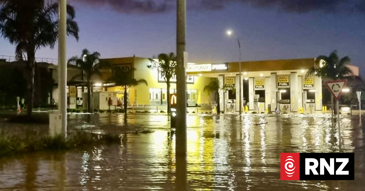
On Tuesday morning, a dozen Wellington homes were still deemed a no-go zone after a slip came down on The Terrace on Monday, following afternoon of flooding.
One of those slips had blocked the only way in and out of the settlement of Horokiwi, just outside the capital.
Here’s what the numbers tell us about Aotearoa’s stormy weather.
READ MORE:
* Thousands of lightning strikes across Auckland and lower Northland
* Most severe weather warnings ease but risk of thunderstorms remain
* Thunderstorms and rain forecast for central North Island
261
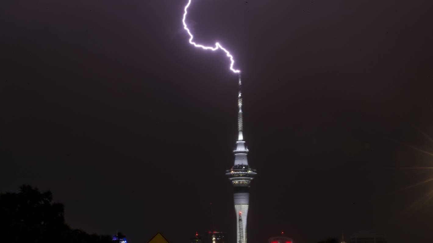
Over the past 24 hours up until Tuesday morning, there were a total of 261 lightning strikes across the Auckland region.
Further down the North Island in the Coromandel, there were 92 lightning strikes over the past 24 hours.
DAVID WHITE/STUFF
There were more than 200 lightning strikes across Auckland in the past 24 hours. (File photo)
The thunderstorms that accompanied the lightning strikes are not over yet, with MetService saying more thunderstorms are possible in central and lower Northland, as well as Auckland, heading into Wednesday.
“There is a generally low risk of thunderstorms during [Tuesday] for Northland, Auckland, Coromandel Peninsula and parts of Waikato, Bay of Plenty and Gisborne,” MetService said.
“Any thunderstorms tomorrow afternoon will depend on how much heating we get over the land,” MetService wrote on their Twitter page.
– 8.1
The coldest temperature recorded on Monday was -8.1C, in Manapouri in the South Island.
The next coldest was Lumsden at -6C, followed by Alexandra at -5.7C.
Alden Williams/Stuff
The “coldest week of the year” is living up to the hype.
It wasn’t looking any better for the central Otago area and most of the South Island, with temperatures of about –7C expected for Clyde and Cromwell.
“The coldest week of the year” would be true for most of this area, meteorologist Stephen Glassy said.
“It’s going to be the coldest week for quite a few places, including areas of the North Island.”
Good news for those living in Alexandra though – the town’s coldest temperature of the year, -8.8C which was recorded back in June, was “unlikely to be beaten”, Glassy said.
The cold weather would be sticking around the rest of the week, with Glassy forecasting “severe frosts” for the Canterbury and Marlborough regions in the South Island.
Alexandra holds the spot as the coldest part of New Zealand on Tuesday, siting at a balmy 0.9C.
120
The strongest gust of wind recorded on Monday was 120kph, whistling through the Cook Strait and the Wairarapa area.
However, those gusts seem to have died down for now, with no wind-related warnings or watches in place throughout New Zealand.
The Wellington area is expected to record up to 90kph gusts on Tuesday.
MONIQUE FORD/Stuff
Wellington has been experiencing strong wind gusts.
The strongest gust of wind recorded so far on Tuesday was in Lyall Bay, Wellington, with gusts hitting 44 kph.
70
Over the past 24 hours, Ngawi, located on Wairarapa’s south coast, takes the cake for the most amount of rain recorded, with 70 mm falling in the area.
The Auckland region also saw a huge amount of rain which accompanied the thunderstorms, with the north Auckland suburb of Ōrewa recording 12mm in a single hour on Monday.
The heavy localised downpours aren’t going anywhere on Tuesday, with a heavy rain watch in place for Great Barrier Island, Northland and Coromandel.
The wettest place in New Zealand at this time is the Chatham Islands, recording 4.4mm of rain so far on Tuesday.


