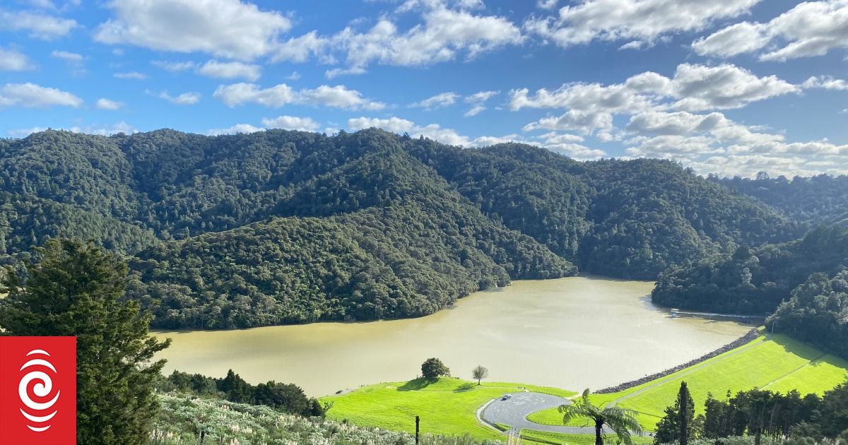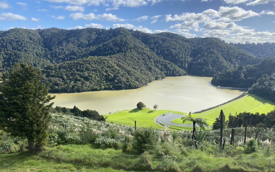
Whau Valley Dam from the air, its main bellmouth spillway showing in the water at right.
Photo: Supplied / WDC
A 60-metre-high slip is threatening the Whangārei Whau Valley Dam’s emergency spillway.
The hillside at the top of the slip is falling away with a three-metre deep and half-metre wide crack at its top, to the north-east of the dam accessway and recreational carparking area.
The crack is about 30 metres long. A further secondary “relaxation zone” above the slip is also moving.
Whangārei District Council (WDC) infrastructure committee chairman Simon Reid said the situation at the dam was “quite a concern”.
The dam and surrounds have been shut to the public since 28 March due to public access safety concerns.

WDC water services manager Andrew Venmore said the slip had been kicked off with Cyclone Gabrielle’s huge rains and then ongoing wet weather which meant groundwater levels were at a record high.
The one hectare slip was heading down the hillside towards the spillway at its base.
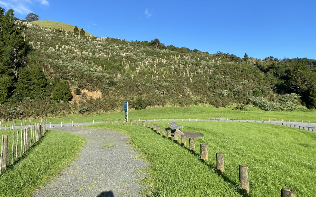
The 60 metre high slip covering the equivalent of 1.4 rugby fields and causing problems at Whau Valley Dam. It is the unforested area covered in pampas grass.
Photo: Supplied / WDC
The slip covers the equivalent of about 1.4 rugby fields.
Venmore said there would be significant consequences for the dam if the whole slip failed catastrophically and came down blocking the emergency spillway, but there was a very low chance of this. It would have to happen in conjunction with a major one-in-500-year-plus weather event, which would potentially create problems with the amount of water in the dam building but having no emergency spillway to overflow.
He said the threatened emergency spillway was designed to cope with a one in 10,000-year weather event and had never been used since the dam was built in 1969.
The emergency or auxiliary spillway is Whau Valley Dam’s overflow backup. The dam’s primary is its giant plughole-like bellmouth spillway, designed to cope with a one-in-500-year weather event and in the dam at the western end of its front wall.
Venmore said over time the slip’s soil would dry and stop moving, but it was currently very wet and still moving inches a week.
“It’s slowed down a bit but is still moving,” he said.
Venmore said the slip did not mean the whole dam was about to fail with people downstream at risk as a result.
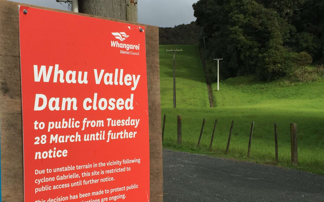
Whau Valley Dam has been shut to the public for almost three months. It provides drinking water for Whangārei, Northland’s only city with a population of about 60,000.
Photo: Susan Botting / Local Democracy Reporter Northland
The more than six-decades-old dam is Whangārei’s main drinking water source, storing 1.8 million cubic metres of water, weighing 1.8 million tonnes.
Venmore updated councillors on the slip at a briefing meeting on Thursday.
WDC has put 14 metre deep boreholes into the slip to monitor action, using a helicopter to lift the rig into place.
There have been delays getting contractors on site to do the bore drilling, due to major demands on their time from around the country due to Cyclone Gabrielle damage.
Data is being collected from the boreholes and the slip monitored weekly.
Venmore said he was aware some visitors were frustrated about not being able to access the dam and surrounds for recreation.
He said the council was working as quickly as possible to remedy the situation.
Forestry on the slipping hill was harvested by the council about five years ago.
Reid said the hill’s current pampas grass vegetation covering sent warning signals.
“Pampas grass doesn’t let water get away,” Reid said.
Venmore said the hill’s profile was lower than it was originally due to a lot of its soil being used to build the earth dam.
Meanwhile, a second 2009 slip in the dam’s south western end is causing issues, its sediment bringing extra water quality processing issues for the council.
Venmore said dam monitoring included regular drone flyovers.
Local Democracy Reporting is Public Interest Journalism funded through NZ On Air

