Bright skies and warmer days are on the horizon for most of the country this weekend, giving areas hit hardest by Cyclone Gabrielle a reprieve from rain until the middle of next week.
Friday would see “smatterings” of rain in parts of the North Island, but the showers would be relatively small and should clear through the day, MetService meteorologist Lewis Ferris said.
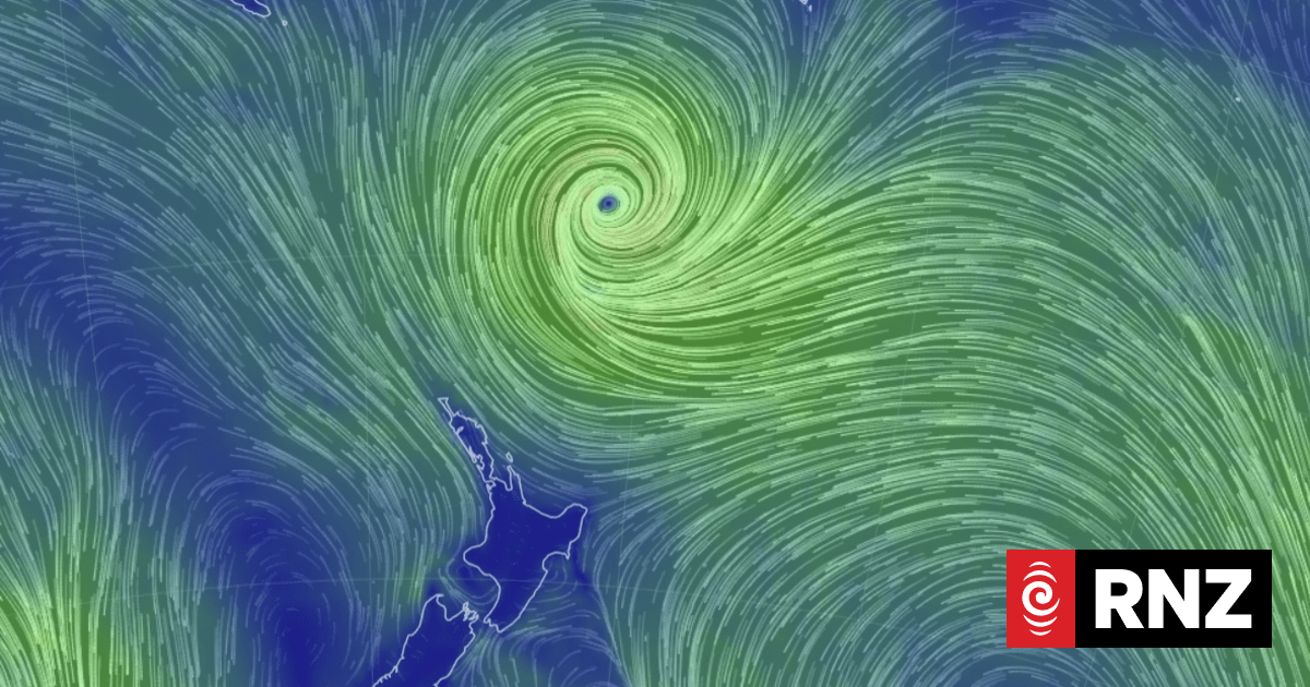
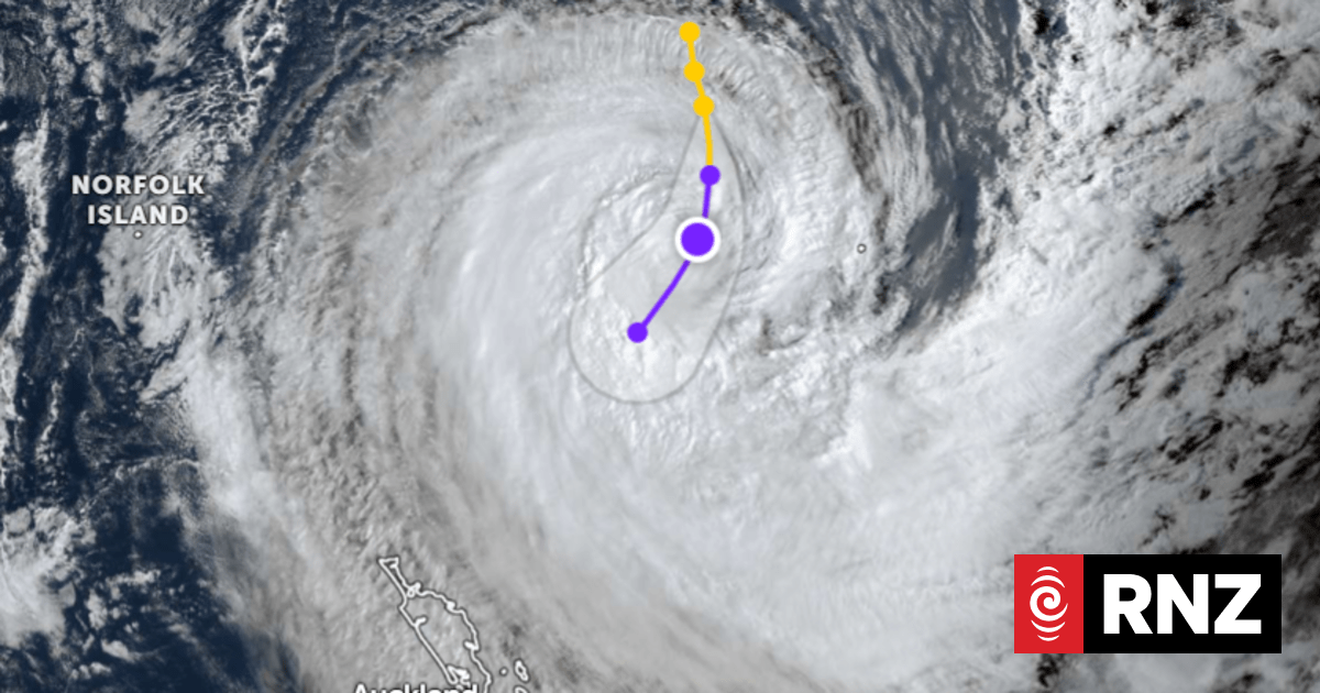
The cyclone had now moved far enough out to sea that the bad weather it brought with it wouldn’t have an effect on New Zealand.
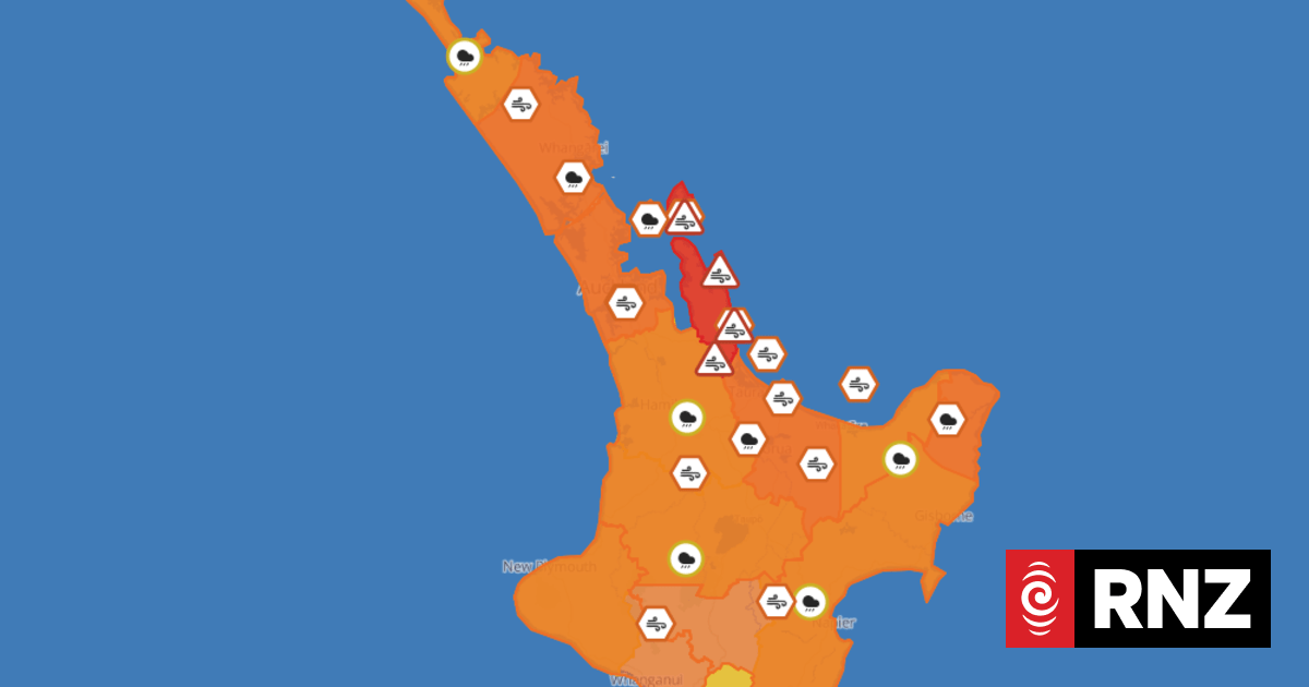
There were no severe weather watches or warnings in place for anywhere in the country.
READ MORE:
* Brothers break down in tears, embrace in aftermath of flood destruction
* When should tourists return to a crisis-hit country?
* Cyclone Gabrielle: Fears cyclone death toll will rise, as bodies seen floating in water
Ferris said the weather would “settle” on Friday and through the weekend as a warm front moved across the country, bringing higher temperatures to all but the southwest of the South Island.
He said there may still be a few showers, but they would only be “flies in the ointment” of finer weather until Sunday, when a band of rain would move in from the southwest of the country.
Jason Dorday/Stuff
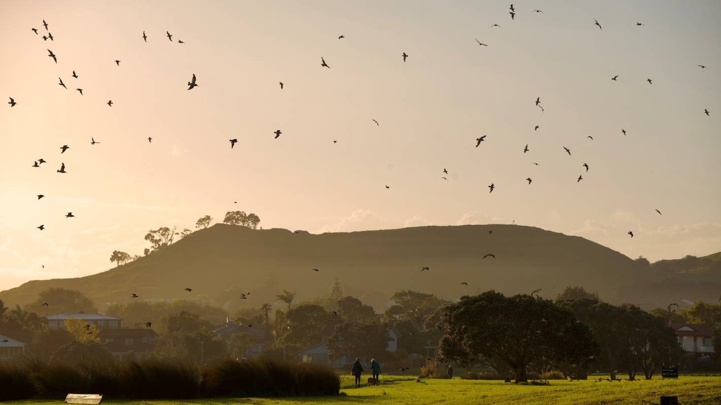
The sun rises over Māngere Bridge in Auckland after Cyclone Gabrielle.
The front is expected to hit Fiordland on Sunday, moving up towards the North Island.
It is expected to be far less severe than the bands that have been coming in from the tropics.
Ferris said while it would bring rain to the drought-hit south, the system would weaken as it moved north and “won’t linger anywhere too long”.
Temperatures in parts of Canterbury are expected to get up to about 30C on Sunday, Monday and Tuesday next week.
As the rain clears, it has given MetService forecasters a chance to look at some of the statistics of the record-breaking summer.
Supplied
Flood-hit areas are set to get a reprieve from the rain this weekend.
Weather stations in Northland, Auckland, Coromandel, Bay of Plenty, Hawke’s Bay and Waikato all recorded more rain in the first three months of summer than they ever previously had.
Whangārei Airport has recorded more than a metre of rain up until this point this summer, nearly double the previous high-water mark set in 1938.
Ferris said that was equal to two thirds of its typical yearly rainfall total.
There was rain in some flood-hit areas on Thursday and severe thunderstorm watches were issued by MetService from 3pm until 10pm.
They covered Tairāwhiti Gisborne, Hawke’s Bay, Rotorua, Taupo and Bay of Plenty.
By about 7pm, MetService had already registered 4400 lightning strikes throughout the afternoon and evening, but by Friday morning the thunderstorm watch was lifted.


