Kathryn George/Stuff
Much of the country was hit hard by Cyclone Gabrielle. Here’s what MetService data shows happened between Sunday and Wednesday.
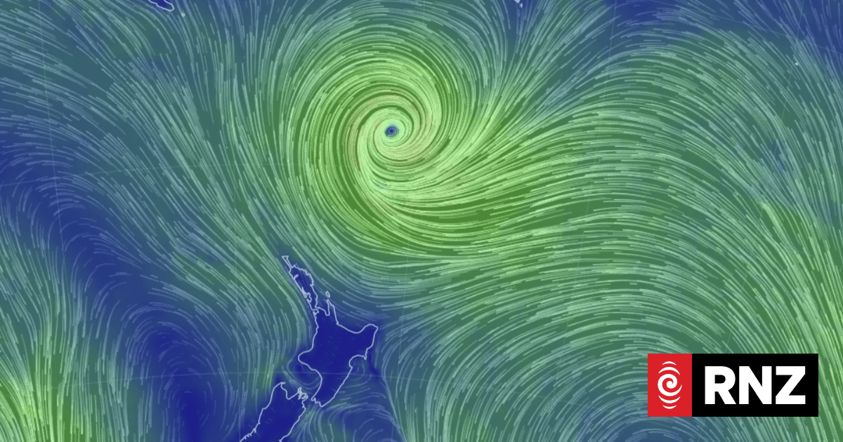
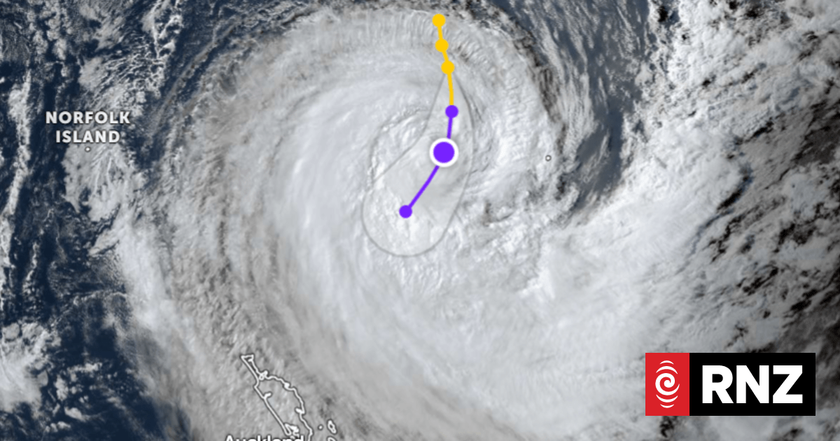
After days of severe, extreme weather, Cyclone Gabrielle is finally moving away from Aotearoa.
The system was located 400km east of Gisborne (as of 10am Thursday), and was continuing to move further away to the southeast – weakening as it travels towards the north of the Chatham Islands.
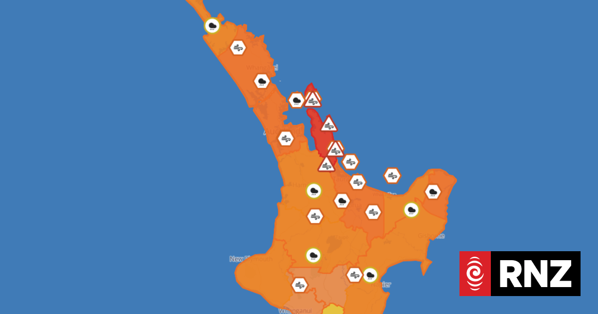
The severe weather has eased in most parts of the country, but heavy rain continues to hit parts of central New Zealand and is expected to do so through to Thursday evening. Cyclone Gabrielle will no longer be affecting the country from Friday, MetService said.
So how much rain fell during what Prime Minister Chris Hipkins called the “most severe weather event this century”?
READ MORE:
* Cyclone Gabrielle live updates: Deaths, destruction and evacuations as force of storm continues
* Cyclone Gabrielle live noticeboard: Ask or offer help after the storm
* All the ingredients that made Cyclone Gabrielle so destructive
* Cyclone Gabrielle: What will happen next and when will it be over?
MetService data shows that from 12am on Sunday to 7am Wednesday:
Northland
- Across the region, 250-400mm of rain was recorded – with the largest amount at Glenbervie Forest (408.7mm).
- Whangārei Airport received 320.4mm.
- Wind gusts over 130kph were recorded in the most exposed stations, with 141kph recorded at Cape Reinga.
- Whangārei Airport recorded gusts of 102kph.
STUFF
Looking back at three days of carnage in the North Island with these incredible images from Cyclone Gabrielle.
Auckland:
- More than 200mm of rain was recorded across Tāmaki Makarau.
- Waitākere recorded the most rain (248mm).
- Wind gusts of up to 130-150kph were recorded at the most exposed sites.
- Auckland Harbour Bridge recorded gusts of 115kph, 78 km/h at Auckland Airport.
David White/Stuff
Amber and Paul Rhodes embrace after running from their home, which got washed onto the road after heavy rain in Karekare, west Auckland.
Coromandel Peninsula:
- The Pinnacles station, in the ranges, recorded 447mm of rain.
- Other elevated stations received 220-270mm.
- Whitianga recorded 170.6mm.
- Golden Valley (near Waihī) experienced wind gusts of up to 109kph.
Thames-Coromandel District Council
A significant slip on SH25 Thames Coast Road after Cyclone Gabrielle.
Bay of Plenty:
- The highest rainfall recorded was at Queenshead (163.5mm).
- Tauranga recorded 122.7mm.
- Rotorua: 86.1mm.
- Whakatāne: 82.8mm.
- Te Puke: 78.6mm.
- Wind gusts recorded ranged between 80-90kph.
Tairāwhiti/Gisborne:
- The largest rainfall accumulation was in Hikuwai, where 488mm of rain fell.
- A number of other stations (mainly in the ranges) recorded over 400mm.
- Gisborne Airport received 185.3mm (due to power cuts it stopped recording after 2am Tuesday).
- Wind gusts of up to 93kph were recorded across Tairāwhiti.
Brennan Thomas/Stuff
The Waimatā River crashes through houses along its banks in Gisborne.
Hawke’s Bay:
- Elevated stations in the ranges recorded the most rainfall, with Pukeorapa receiving 337.5mm.
- Napier Airport recorded 203.8mm, and 143.8 mm in Hastings.
- Wind gusts of up to 90kph were recorded, with exposed stations near the coast – such as Cape Kidnappers – seeing even higher (131 km/h).
Royal NZ Air Force
Three NH90 helicopters responded to Hawke’s Bay: One of the tasks involved recovering people from the rooftops of their homes in Esk Valley, Napier.
Wairarapa:
- Elevated stations in the ranges recorded the most rainfall: between 180-280mm.
- Masterton Airport received 62mm.
- Exposed stations near the coast recorded high wind gusts; Cape Turnagain recorded 146kph, and 113kph at Castlepoint.
Taranaki
- Taranaki recorded a “moderate” amount of rain: 30-45mm across the region.
- Winds were “very” strong: New Plymouth Airport recorded gusts of up to 128kph.
Supplied
A flooded car on Te Whiti Rd, Wairarapa.
Whanganui:
- 60-90mm of rain was recorded across the region over the nearly 80 hours.
- Gusts of 98kph were experienced at Whanganui Airport.
Wellington:
- Northern and eastern parts of the Hutt Valley saw the highest accumulations: 100-160mm.
- Mt Kaukau (an elevated site) recorded the highest wind gust: 146kph.
- Gusts up to 100kph were experienced around the city.
BRUCE MACKAY/Stuff
Wellington’s Ōwhiro Bay being battered by waves.
Marlborough:
- Snowflake Ridge (a very elevated site) recorded 230 mm of rain.
- Other stations recorded up to 100-130 mm.
- Kaikōura received 59.8mm of rain, and Picton saw 59.5mm.
- Cape Campbell recorded wind gusts of up to 93kph and Kaikōura recorded 65kph.


